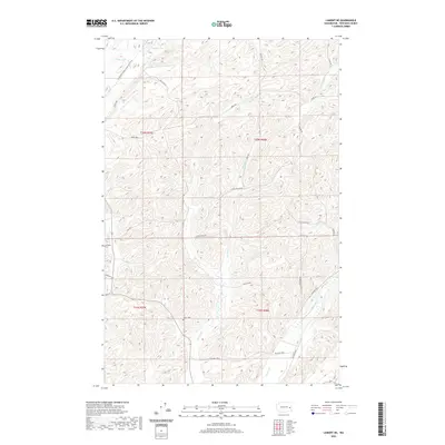
2020 Map of Lamont NE
USGS Topo · Published 2020About this map
Grisham Cem and Caylor Cem sit among the channeled scablands of Whitman County, marking the resting places of early agricultural families in this pocket of Eastern Washington. The landscape is defined by the winding course of Imbler Cr and Packer Cr, which cut through the basalt-carved terrain. High ground features the quiet waters of Stoner Lake and Big Lake, while the abandoned railway corridor has been repurposed as the Columbia Plateau State Park Trail.
Find a feature on this map
26 named features on this map. Tap any name to fly to it.
Don’t see what you’re looking for? This feature index may not catch every label — zoom into the map to look around manually.
Map Details
Editions of this 2020 Lamont NE Map
This is the sole edition of this map. No revisions or reprints were ever made.
Other maps of this area

1954 · Cheney
USGS Topo · 1:62,500

1954 · Sprague
USGS Topo · 1:62,500

1955 · Spokane
USGS Topo · 1:250,000

1958 · Spokane
USGS Topo · 1:250,000

1964 · Lamont NE
USGS Topo · 1:24,000

1964 · Lamont NW
USGS Topo · 1:24,000

1964 · Rock Lake
USGS Topo · 1:24,000

1964 · Texas Lake
USGS Topo · 1:24,000

1964 · Revere
USGS Topo · 1:24,000

1964 · Ewan
USGS Topo · 1:24,000