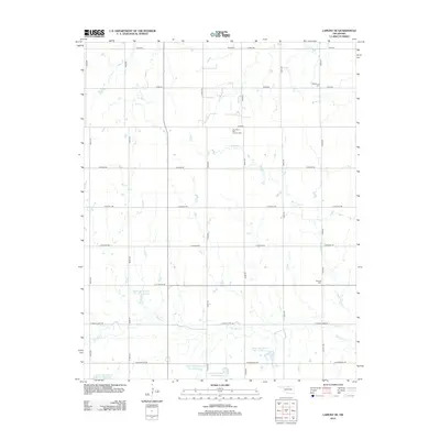
2012 Map of Lamont SE
USGS Topo · Published 2012About this map
The Southeast Salt Fork Oil Field anchors the northern landscape of this Garfield County quadrangle, illustrating the industrial footprint of energy extraction in rural Oklahoma. This 2012 survey shows a highly managed water system dominated by the Upper Red Rock Creek watershed. Numerous flood control structures, including Upper Red Rock Cr Site 21 Reservoir, Upper Red Rock Cr Site 43 Reservoir, and Upper Red Rock Cr Site 40 Reservoir, are distributed across the drainage basins of Red Rock Cr and Hereford Cr. For local historians and genealogists, the map identifies small, significant landmarks like Mt Vernon Cem in the northeast and Heitholt Cem near the eastern border. The section-line road network, including E Blaine Rd and E Great Lakes Rd, remains the primary structure for the agricultural and oil-producing landscape.
Find a feature on this map
29 named features on this map. Tap any name to fly to it.
Don’t see what you’re looking for? This feature index may not catch every label — zoom into the map to look around manually.
Map Details
Editions of this 2012 Lamont SE Map
This is the sole edition of this map. No revisions or reprints were ever made.
Other maps of this area

1955 · Enid
USGS Topo · 1:250,000

1956 · Garber
USGS Topo · 1:62,500

1958 · Enid
USGS Topo · 1:250,000

1968 · Lamont SE
USGS Topo · 1:24,000

1968 · Lamont NW
USGS Topo · 1:24,000

1968 · Billings
USGS Topo · 1:24,000

1968 · Hunter
USGS Topo · 1:24,000

1968 · Eddy
USGS Topo · 1:24,000

1968 · Lamont
USGS Topo · 1:24,000

1972 · Perry NW
USGS Topo · 1:24,000