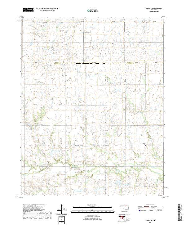
2022 Map of Lamont SE
USGS Topo · Published 2022About this map
Red Rock Creek and its many tributaries, including Negro Creek and Wolf Creek, define the topography of this section of north-central Oklahoma. The landscape is marked by a sophisticated water management system, evident in the numerous flood control structures such as Upper Red Rock Creek Site 43 Reservoir and Site 21 Reservoir. The grid-based road network, including Sinclair Road and Kremlin-Hunter Road, underscores the region's agricultural layout along the border of Grant and Garfield counties. Local history is anchored by the Mount Vernon and Heitholt cemeteries, which serve as long-standing landmarks in this rural landscape. The inclusion of Bobbitt Airport indicates the continued utility of small-scale aviation facilities serving the local community.
Find a feature on this map
38 named features on this map. Tap any name to fly to it.
Don’t see what you’re looking for? This feature index may not catch every label — zoom into the map to look around manually.
Map Details
Editions of this 2022 Lamont SE Map
This is the sole edition of this map. No revisions or reprints were ever made.
Other maps of this area

1955 · Enid
USGS Topo · 1:250,000

1956 · Garber
USGS Topo · 1:62,500

1958 · Enid
USGS Topo · 1:250,000

1968 · Lamont SE
USGS Topo · 1:24,000

1968 · Lamont NW
USGS Topo · 1:24,000

1968 · Billings
USGS Topo · 1:24,000

1968 · Hunter
USGS Topo · 1:24,000

1968 · Eddy
USGS Topo · 1:24,000

1968 · Lamont
USGS Topo · 1:24,000

1972 · Perry NW
USGS Topo · 1:24,000