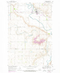
1955 Map of LaMoure
USGS Topo · Published 1978About this map
The James River Valley dominates this 1955 survey of the LaMoure region, showing the town at a time when the Burlington Northern railroad provided a vital link through the plains. The landscape is defined by its water and agricultural infrastructure, from the prominent Lake Lamoure and its spillway to the smaller Nevermore Lake and Pearl Lake. Local heritage is anchored by rural landmarks such as Cottonwood Ch and St. Ansgar Ch, while the LaMoure-Rott Municipal Airport signals the mid-century modernization of the area. The map also records the jurisdictional boundaries of Grand Rapids and Dean townships, providing a clear view of the settlement patterns along Cottonwood Creek before late-century changes.
Find a feature on this map
25 named features on this map. Tap any name to fly to it.
Don’t see what you’re looking for? This feature index may not catch every label — zoom into the map to look around manually.
Map Details
Editions of this 1955 LaMoure Map
2 editions found
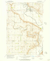
Other maps of this area

1894 · La Moure
USGS Topo · 1:62,500

1894 · Fullerton
USGS Topo · 1:62,500

1894 · Oakes
USGS Topo · 1:62,500

1895 · Lamoure
USGS Topo · 1:125,000

1918 · La Moure
USGS Topo · 1:125,000

1952 · Glover
USGS Topo · 1:24,000

1952 · Grand Rapids
USGS Topo · 1:24,000

1952 · Independence
USGS Topo · 1:24,000

1953 · Jamestown
USGS Topo · 1:250,000

1955 · Fullerton NE
USGS Topo · 1:24,000