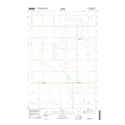
2014 Map of LaMoure SW
USGS Topo · Published 2014About this map
Fairview Colony stands out as a focal point in this 2014 agricultural landscape along the border of LaMoure Co and Dickey Co. The terrain is defined by a dense network of sectional roads, including 92nd Ave SE and 78th St SE, which carve the prairie into a precise grid for farming. Hydrological features like Cottonwood Lake and the winding Cottonwood Cr provide natural relief to the structured land divisions, indicating the drainage patterns essential to the region's wheat and corn production.
Find a feature on this map
22 named features on this map. Tap any name to fly to it.
Don’t see what you’re looking for? This feature index may not catch every label — zoom into the map to look around manually.
Map Details
Editions of this 2014 LaMoure SW Map
This is the sole edition of this map. No revisions or reprints were ever made.
Other maps of this area

1894 · Monango
USGS Topo · 1:62,500

1894 · La Moure
USGS Topo · 1:62,500

1894 · Fullerton
USGS Topo · 1:62,500

1895 · Lamoure
USGS Topo · 1:125,000

1896 · Edgeley
USGS Topo · 1:125,000

1918 · La Moure
USGS Topo · 1:125,000

1925 · Edgeley
USGS Topo · 1:125,000

1952 · Grand Rapids
USGS Topo · 1:24,000

1953 · Jamestown
USGS Topo · 1:250,000

1955 · Fullerton NE
USGS Topo · 1:24,000