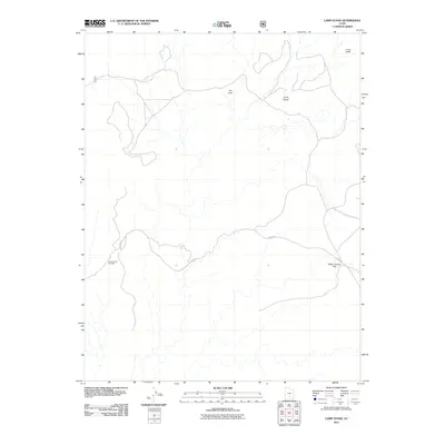
2011 Map of Lamp Stand
USGS Topo · Published 2011About this map
Burr Trl winds through the heart of this Garfield County landscape, serving as the primary corridor across a region defined by dramatic geological markers. The terrain transitions from The Flats and White Canyon Flat toward the prominent elevation of the Lamp Stand. Further north, the Circle Cliffs loom over the drainage patterns, while the Long Canyon Overlook provides a point of perspective on the winding canyon systems to the southwest. This 2011 survey by the U.S. Geological Survey and U.S. Forest Service captures the modern layout of these remote back-country routes before twenty-first-century travel patterns further altered the access to these remote plateaus and overlooks.
Find a feature on this map
6 named features on this map. Tap any name to fly to it.
Don’t see what you’re looking for? This feature index may not catch every label — zoom into the map to look around manually.
Map Details
Editions of this 2011 Lamp Stand Map
This is the sole edition of this map. No revisions or reprints were ever made.
Other maps of this area

1885 · Fish Lake
USGS Topo · 1:250,000

1886 · Escalante
USGS Topo · 1:250,000

1896 · Fish Lake
USGS Topo · 1:250,000

1952 · Notom 4 SE
USGS Topo · 1:24,000

1952 · Notom 4 SW
USGS Topo · 1:24,000

1952 · Notom 3 SE
USGS Topo · 1:24,000

1952 · Grover
USGS Topo · 1:62,500

1952 · Notom
USGS Topo · 1:62,500

1953 · Circle Cliffs 1 SE
USGS Topo · 1:24,000

1953 · Circle Cliffs 2 NE
USGS Topo · 1:24,000