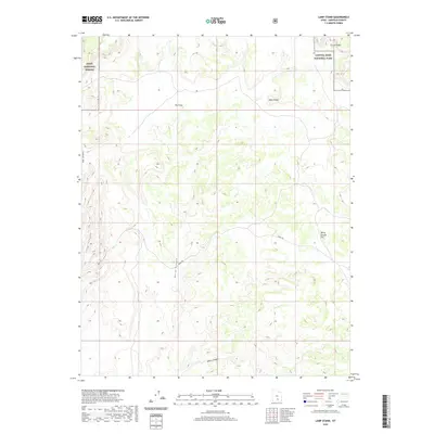
2020 Map of Lamp Stand
USGS Topo · Published 2020About this map
Capitol Reef National Park and the Dixie National Forest meet in this 2020 study of the Garfield County high desert. The map is defined by the winding course of the Burr Trl, a historic livestock route turned backcountry thoroughfare that navigates the complex geology of the Circle Cliffs. The topography is a series of dramatic vertical drops into Egg Canyon, Long Canyon, and Horse Canyon, which drain into the broader White Canyon system to the south.
Find a feature on this map
11 named features on this map. Tap any name to fly to it.
Don’t see what you’re looking for? This feature index may not catch every label — zoom into the map to look around manually.
Map Details
Editions of this 2020 Lamp Stand Map
This is the sole edition of this map. No revisions or reprints were ever made.
Other maps of this area

1885 · Fish Lake
USGS Topo · 1:250,000

1886 · Escalante
USGS Topo · 1:250,000

1896 · Fish Lake
USGS Topo · 1:250,000

1952 · Notom 4 SE
USGS Topo · 1:24,000

1952 · Notom 4 SW
USGS Topo · 1:24,000

1952 · Notom 3 SE
USGS Topo · 1:24,000

1952 · Grover
USGS Topo · 1:62,500

1952 · Notom
USGS Topo · 1:62,500

1953 · Circle Cliffs 1 SE
USGS Topo · 1:24,000

1953 · Circle Cliffs 2 NE
USGS Topo · 1:24,000