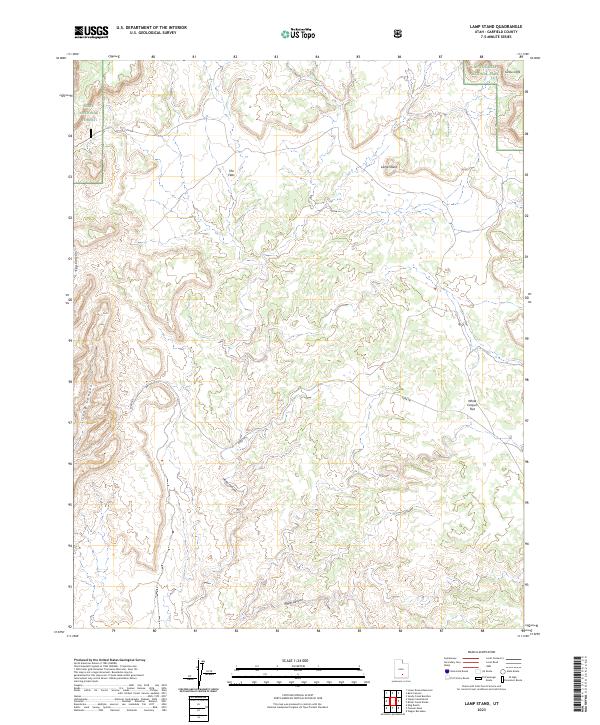
2023 Map of Lamp Stand
USGS Topo · Published 2023About this map
Capitol Reef National Park and Dixie National Forest meet in this section of Garfield County, marking a landscape where high desert plateaus and deeply carved canyons dominate the terrain. The central topographical feature, Lamp Stand, rises above surrounding drainages, while the Burr Trl provides a critical travel corridor through the remote geography. This corridor links the elevated The Flats with lower reaches near White Canyon Flat.
Find a feature on this map
11 named features on this map. Tap any name to fly to it.
Don’t see what you’re looking for? This feature index may not catch every label — zoom into the map to look around manually.
Map Details
Editions of this 2023 Lamp Stand Map
This is the sole edition of this map. No revisions or reprints were ever made.
Other maps of this area

1885 · Fish Lake
USGS Topo · 1:250,000

1886 · Escalante
USGS Topo · 1:250,000

1896 · Fish Lake
USGS Topo · 1:250,000

1952 · Notom 4 SE
USGS Topo · 1:24,000

1952 · Notom 4 SW
USGS Topo · 1:24,000

1952 · Notom 3 SE
USGS Topo · 1:24,000

1952 · Grover
USGS Topo · 1:62,500

1952 · Notom
USGS Topo · 1:62,500

1953 · Circle Cliffs 1 SE
USGS Topo · 1:24,000

1953 · Circle Cliffs 2 NE
USGS Topo · 1:24,000