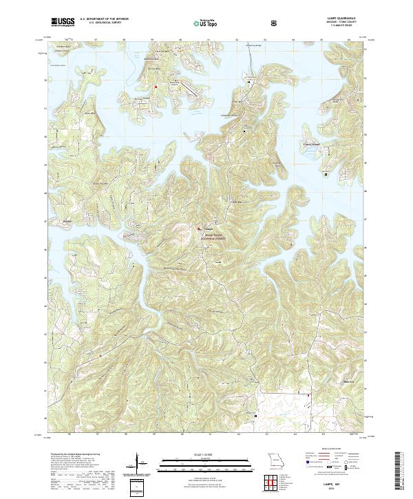
2021 Map of Lampe
USGS Topo · Published 2021About this map
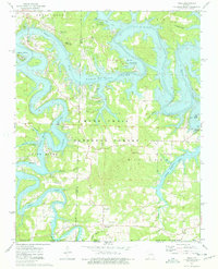
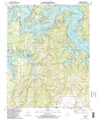
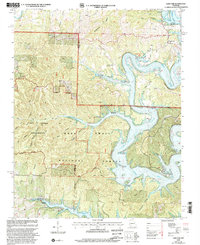
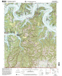
Table Rock Lake dominates this portion of Stone County, where its branching arms create a complex shoreline of points and bluffs. The settlement of Lampe serves as a central hub, situated near the boundary of the Mark Twain National Forest. The landscape is characterized by a series of high ridges and balds, such as Big Joe Bald and Naked Joe Bald, which overlook a network of hollows that drain into the reservoir. This pattern of high ground and deep drainage channels defines the local topography, influencing the placement of secondary roads like State Hwy H and State Hwy DD.
Find a feature on this map
55 named features on this map. Tap any name to fly to it.
Don’t see what you’re looking for? This feature index may not catch every label — zoom into the map to look around manually.
Map Details
Editions of this 2021 Lampe Map
This is the sole edition of this map. No revisions or reprints were ever made.
Historical Maps of Marmaros Through Time
12 maps found
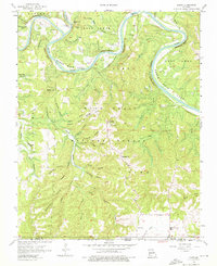
1956 Lampe
Stone County, MO
1974 Cape Fair
Stone County, MO
1974 Elsey
Stone County, MO
1974 Viola
Stone County, MO
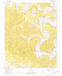
1989 Lampe
Stone County, MO
1999 Cape Fair
Stone County, MO
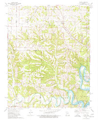
1999 Lampe
Stone County, MO
1999 Viola
Stone County, MO
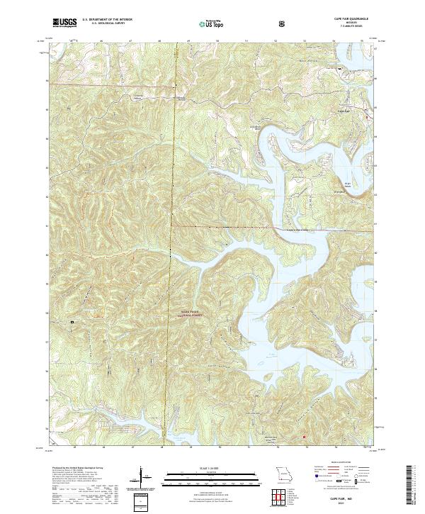
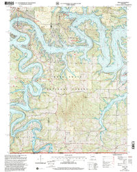
2021 Cape Fair
Stone County, MO
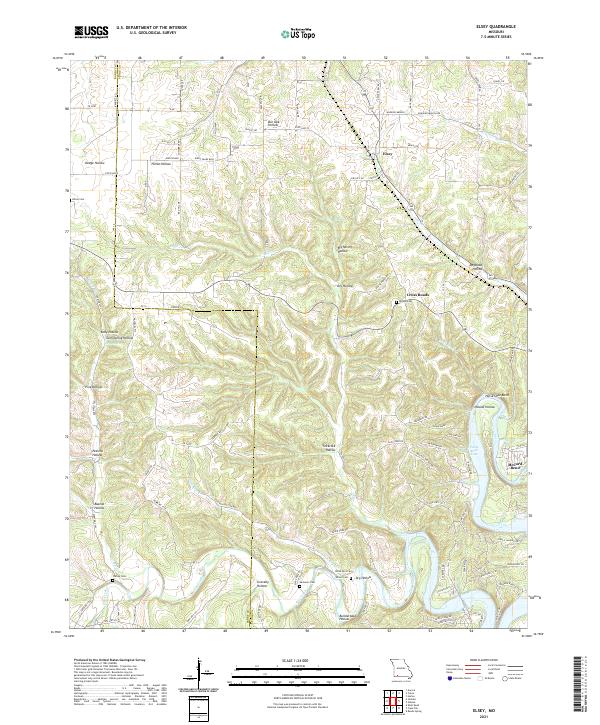
2021 Elsey
Stone County, MO
2021 Lampe
Stone County, MO
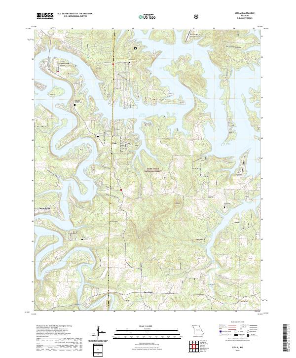
2021 Viola
Stone County, MO