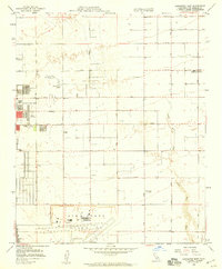
1958 Map of Lancaster East
USGS Topo · Published 1959About this map
Air Force Plant 42 anchors the southern landscape of this High Desert region, marking a period of significant aerospace and military expansion in the late 1950s. The settlement of Lancaster occupies the western edge, showing its mid-century growth with Antelope Valley College and Joshua Mem Park already established. The grid-like road system, defined by alphanumeric routes such as Avenue H and Avenue L, bisects the arid terrain, leading toward smaller outposts like Roosevelt and Denis.
Find a feature on this map
30 named features on this map. Tap any name to fly to it.
Don’t see what you’re looking for? This feature index may not catch every label — zoom into the map to look around manually.
Map Details
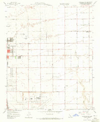
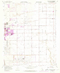
Editions of this 1958 Lancaster East Map
3 editions found
Other maps of this area

1915 · Elizabeth Lake
USGS Topo · 1:125,000

1917 · Elizabeth Lake
USGS Topo · 1:125,000

1930 · Oban
USGS Topo · 1:24,000

1930 · Roosevelt School
USGS Topo · 1:24,000

1930 · Casa Desierta
USGS Topo · 1:24,000

1930 · Lancaster
USGS Topo · 1:24,000

1930 · West Alpine Butte
USGS Topo · 1:24,000

1930 · Tierra Bonita
USGS Topo · 1:24,000

1933 · Lancaster
USGS Topo · 1:24,000

1933 · Casa Desierta
USGS Topo · 1:24,000