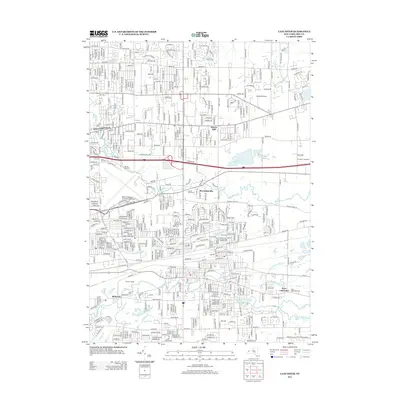
2013 Map of Lancaster
USGS Topo · Published 2013About this map
Williamsville and its surrounding suburban landscape are defined by a complex network of waterways and major transit corridors. Multiple branches of Ellicott Creek and the Scajaquada Creek system carve through the terrain, while the massive footprint of the Buffalo Niagara International Airport dominates the central portion of the map. This area serves as a significant historical crossroads, evidenced by the War of 1812 Cemetery located near Wehrle Drive.
Find a feature on this map
32 named features on this map. Tap any name to fly to it.
Don’t see what you’re looking for? This feature index may not catch every label — zoom into the map to look around manually.
Map Details
Editions of this 2013 Lancaster Map
This is the sole edition of this map. No revisions or reprints were ever made.
Other maps of this area

1894 · Buffalo
USGS Topo · 1:62,500

1897 · Tonawanda
USGS Topo · 1:62,500

1897 · Lockport
USGS Topo · 1:62,500

1899 · Niagara
USGS Topo · 1:125,000

1900 · Tonawanda
USGS Topo · 1:62,500

1901 · Buffalo
USGS Topo · 1:62,500

1901 · Tonawanda
USGS Topo · 1:62,500

1902 · Lockport
USGS Topo · 1:62,500

1905 · Depew
USGS Topo · 1:62,500

1905 · Lockport
USGS Topo · 1:62,500