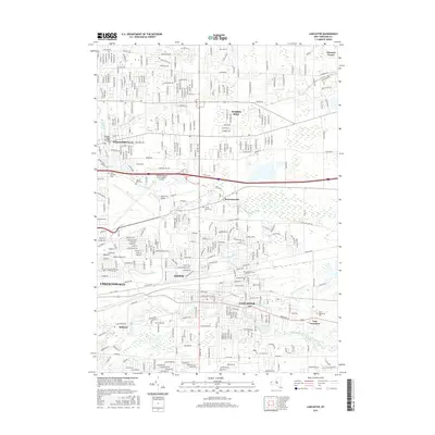
2016 Map of Lancaster
USGS Topo · Published 2016About this map
Lancaster and Cheektowaga anchor this detailed study of the suburban landscape east of Buffalo during the mid-2010s. The region is defined by a dense network of major corridors like Walden Ave, Broadway St, and Wehrle Dr that cut through established residential neighborhoods and commercial zones. Waterways including Ellicott Creek, Scajaquada Cr, and Cayuga Creek thread through the communities, providing a natural contrast to the grid-patterned growth of Depew and Williamsville.
Find a feature on this map
26 named features on this map. Tap any name to fly to it.
Don’t see what you’re looking for? This feature index may not catch every label — zoom into the map to look around manually.
Map Details
Editions of this 2016 Lancaster Map
This is the sole edition of this map. No revisions or reprints were ever made.
Other maps of this area

1894 · Buffalo
USGS Topo · 1:62,500

1897 · Tonawanda
USGS Topo · 1:62,500

1897 · Lockport
USGS Topo · 1:62,500

1899 · Niagara
USGS Topo · 1:125,000

1900 · Tonawanda
USGS Topo · 1:62,500

1901 · Buffalo
USGS Topo · 1:62,500

1901 · Tonawanda
USGS Topo · 1:62,500

1902 · Lockport
USGS Topo · 1:62,500

1905 · Depew
USGS Topo · 1:62,500

1905 · Lockport
USGS Topo · 1:62,500