
2023 Map of Lancaster
USGS Topo · Published 2023About this map
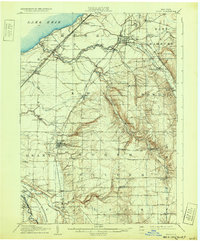
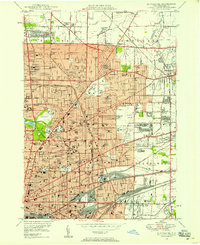
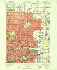
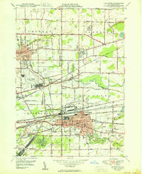
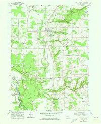
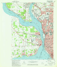
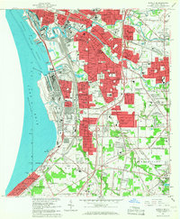
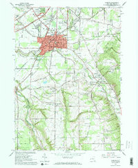
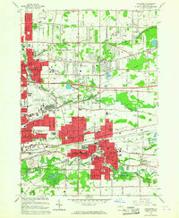
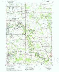
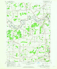
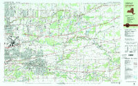
Cheektowaga and the surrounding townships in Erie County reveal a landscape heavily defined by modern transportation infrastructure alongside deep historical roots. The sprawling grounds of the Buffalo Niagara International Airport dominate the western portion of the map, while older village centers like Lancaster, Depew, and Williamsville maintain their distinct grids. A significant historical marker is the War of 1812 Cem, located near the southern edge of Harris Hill, pointing to the region's early frontier military history. Waterways such as Ellicott Creek, Scajaquada Creek, and Cayuga Creek meander through the suburban expansion, often paralleling major thoroughfares like Walden Ave and Broadway St. These corridors reflect the transition from early settlement paths to the dense commercial and residential networks of the 21st century.
Find a feature on this map
34 named features on this map. Tap any name to fly to it.
Don’t see what you’re looking for? This feature index may not catch every label — zoom into the map to look around manually.
Map Details
Editions of this 2023 Lancaster Map
This is the sole edition of this map. No revisions or reprints were ever made.
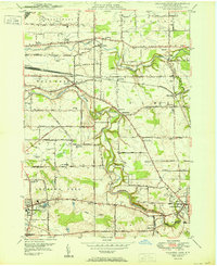
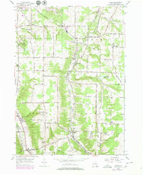
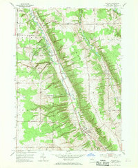
Historical Maps of Eastern Hills Through Time
50 maps found

1905 Eden
Erie County, NY
1907 Eden
Erie County, NY

1944 Eden
Erie County, NY
1944 Hamburg
Erie County, NY
1944 Langford
Erie County, NY
1944 North Collins
Erie County, NY
1948 Buffalo NE
Erie County, NY
1948 Buffalo SE
Erie County, NY
1948 Hamburg
Erie County, NY
1949 Eden
Erie County, NY
1950 Buffalo NE
Erie County, NY
1950 Buffalo NW
Erie County, NY
1950 Buffalo SE
Erie County, NY
1950 Clarence
Erie County, NY
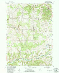
1950 Lancaster
Erie County, NY
1950 Orchard Park
Erie County, NY

1950 Wolcottsville
Erie County, NY
1955 Colden
Erie County, NY
1955 Holland
Erie County, NY
1957 Sardinia
Erie County, NY
1960 Langford
Erie County, NY
1960 North Collins
Erie County, NY
1965 Buffalo NE
Erie County, NY
1965 Buffalo NW
Erie County, NY
1965 Buffalo SE
Erie County, NY
1965 Clarence
Erie County, NY
1965 Eden
Erie County, NY
1965 Hamburg
Erie County, NY
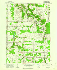
1965 Lancaster
Erie County, NY
1965 Orchard Park
Erie County, NY
1965 Wolcottsville
Erie County, NY
1979 Holland
Erie County, NY
1980 Wolcottsville
Erie County, NY
1982 Lancaster
Erie County, NY

2023 Buffalo NE
Erie County, NY

2023 Buffalo NW
Erie County, NY
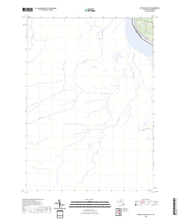
2023 Buffalo NW OE W
Erie County, NY

2023 Buffalo SE
Erie County, NY
2023 Buffalo SE OE W
Erie County, NY

2023 Clarence
Erie County, NY

2023 Colden
Erie County, NY

2023 Eden
Erie County, NY

2023 Hamburg
Erie County, NY

2023 Holland
Erie County, NY
2023 Lancaster
Erie County, NY

2023 Langford
Erie County, NY

2023 North Collins
Erie County, NY

2023 Orchard Park
Erie County, NY

2023 Sardinia
Erie County, NY

2023 Wolcottsville
Erie County, NY