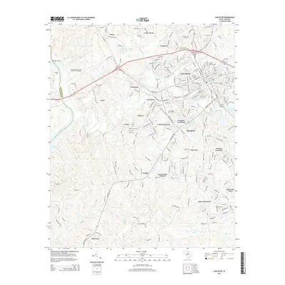
2014 Map of Lancaster
USGS Topo · Published 2014About this map
Lancaster serves as the focal point of this 2014 survey, where the convergence of Us-521 and SC-200 anchors a landscape blending urban growth with rural South Carolina crossroads. The town’s history is preserved at the Old Presbyterian Cem and West Side Cem, while modern institutional footprints are established by the Univ of South Carolina-Lancaster campus. The L & C RR line cuts through the terrain, tracing an industrial path through residential areas like Cedar Terrace and Greenbriar.
Find a feature on this map
230 named features on this map. Tap any name to fly to it.
Don’t see what you’re looking for? This feature index may not catch every label — zoom into the map to look around manually.
Map Details
Editions of this 2014 Lancaster Map
This is the sole edition of this map. No revisions or reprints were ever made.
Other maps of this area

1941 · Spartanburg
USGS Topo · 1:250,000

1953 · Spartanburg
USGS Topo · 1:250,000

1960 · Spartanburg
USGS Topo · 1:250,000

1963 · Spartanburg
USGS Topo · 1:250,000

1964 · Spartanburg
USGS Topo · 1:250,000

1968 · Van Wyck
USGS Topo · 1:24,000

1968 · Catawba
USGS Topo · 1:24,000

1968 · Lancaster SE
USGS Topo · 1:24,000

1968 · Heath Springs
USGS Topo · 1:24,000

1969 · Antioch
USGS Topo · 1:24,000