Loading...
Loading map...2024 Map of Lancaster
USGS Topo · Published 2024About this map
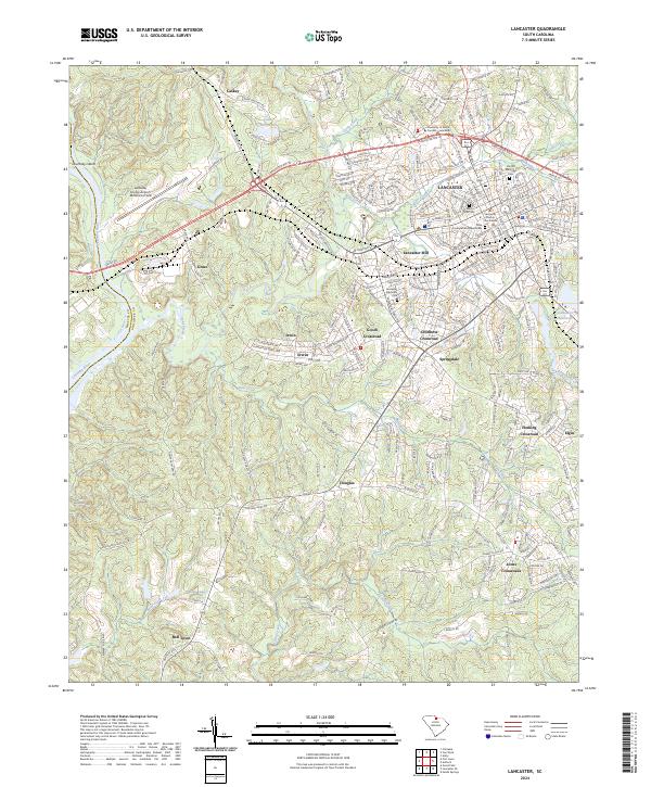
Lancaster serves as the focal point of this South Carolina landscape, where the historic Lancaster County Courthouse and the University of South Carolina - Lancaster anchor the city's civic and educational center. The map documents a blend of industrial heritage and modern growth, centered around the Lancaster Mill and the expansive Lancaster County Airport-McWhirter Field to the west.
Find a feature on this map
202 named features on this map. Tap any name to fly to it.
Don’t see what you’re looking for? This feature index may not catch every label — zoom into the map to look around manually.
Map Details
Date Portrayed2024
Date Published2024
PublisherU.S. Geological Survey
Map TypeTopographic
Scale1:24000
Physical Dimensions24 x 29 inches
Editions of this 2024 Lancaster Map
This is the sole edition of this map. No revisions or reprints were ever made.
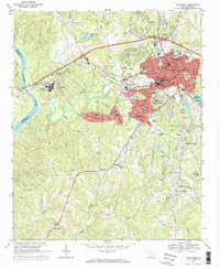
Historical Maps of Jones Crossroads Through Time
3 maps found
Featured Locations
Source Details
SourceU.S. Geological Survey
CopyrightPublic Domain