1933 Map of Lancaster
USGS Topo · Published 1933About this map
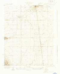
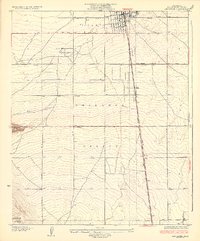
Lancaster stands as the primary hub of the northern Antelope Valley in this early 1930s depiction, oriented around the Southern Pacific railroad line and the Sierra Highway. The town's grid is firmly established at the northern edge of the sheet, while the surrounding landscape is defined by an orderly system of agricultural avenues like Ave I and Ave J. A notable specialized facility, the Lancaster Tubercular Rest Home, is situated west of the main town center, reflecting the era's reliance on the high desert's dry air for respiratory treatment.
Find a feature on this map
25 named features on this map. Tap any name to fly to it.
Don’t see what you’re looking for? This feature index may not catch every label — zoom into the map to look around manually.
Map Details
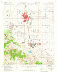
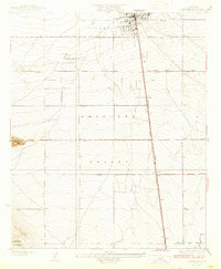
Editions of this 1933 Lancaster Map
3 editions found
Historical Maps of Palmdale Through Time
4 maps found