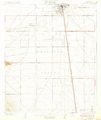
1933 Map of Lancaster
USGS Topo · Published 1933About this map
Lancaster sits at the northern edge of this high desert survey, organized around a rigid grid of early road-building in the western Antelope Valley. The landscape is dominated by the linear path of the Southern Pacific railroad and the parallel Sierra Highway, which anchor the region's transport economy. To the west, the isolated peak of Quartz Hill and the southern rise of Ritter Ridge break the flat expanse of the valley floor.
Find a feature on this map
18 named features on this map. Tap any name to fly to it.
Don’t see what you’re looking for? This feature index may not catch every label — zoom into the map to look around manually.
Map Details
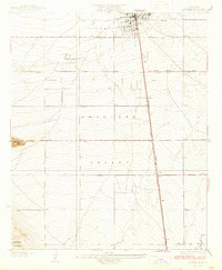
Editions of this 1933 Lancaster Map
3 editions found

Other maps of this area

1915 · Elizabeth Lake
USGS Topo · 1:125,000

1917 · Elizabeth Lake
USGS Topo · 1:125,000

1930 · Oban
USGS Topo · 1:24,000

1930 · Roosevelt School
USGS Topo · 1:24,000

1930 · Lancaster
USGS Topo · 1:24,000

1930 · Pearland
USGS Topo · 1:24,000

1930 · Tierra Bonita
USGS Topo · 1:24,000

1931 · Del Sur
USGS Topo · 1:24,000

1931 · Esperanza School
USGS Topo · 1:24,000

1932 · Red Rover
USGS Topo · 1:24,000