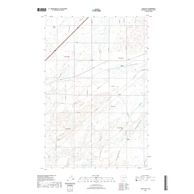
2020 Map of Lance Hills
USGS Topo · Published 2020About this map
Malloy Prairie and the surrounding rangeland of southern Spokane County define this landscape, where the basalt-rimmed topography of the Channeled Scablands meets the rising terrain of the Lance Hills. The settlement pattern is sparse, represented by small railroad-adjacent locales such as Babb, Geib, and Mock. These points follow the historical corridor now preserved as the Columbia Plateau State Park Trail, which winds through the eastern portion of the map.
Find a feature on this map
44 named features on this map. Tap any name to fly to it.
Don’t see what you’re looking for? This feature index may not catch every label — zoom into the map to look around manually.
Map Details
Editions of this 2020 Lance Hills Map
This is the sole edition of this map. No revisions or reprints were ever made.
Other maps of this area

1943 · Medical Lake
USGS Topo · 1:62,500

1945 · Reardan
USGS Topo · 1:62,500

1953 · Reardan
USGS Topo · 1:62,500

1954 · Medical Lake
USGS Topo · 1:24,000

1954 · Medical Lake
USGS Topo · 1:62,500

1954 · Cheney
USGS Topo · 1:62,500
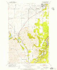
1954 · Four Lakes
USGS Topo · 1:24,000

1954 · Sprague
USGS Topo · 1:62,500

1955 · Spokane
USGS Topo · 1:250,000

1958 · Spokane
USGS Topo · 1:250,000