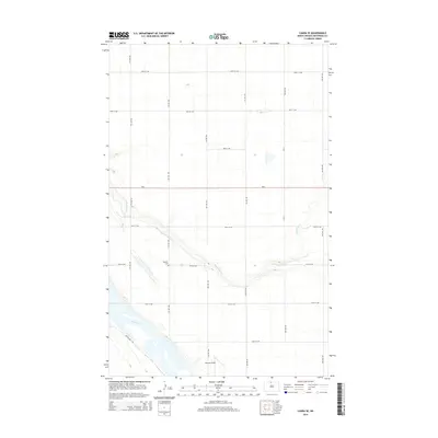
2014 Map of Landa SE
USGS Topo · Published 2014About this map
Nedaros Cem sits along a quiet section of the rural Bottineau County landscape, serving as a significant genealogical marker for this agricultural region of North Dakota. The terrain is defined by the winding course of Boundary Cr, which meanders across the section lines toward the Souris River in the southwest. A grid of section roads, including 95th St NW and 96th St NW, organizes the prairie, while ND-5 provides the primary east-west corridor for local transport. Near the river, Johnson Airport and the Grassland Trl indicate specialized use of the land, reflecting a modern balance between small-scale aviation and conservation. The mapping of these small features provides a clear view of how drainage patterns and transport networks dictate the placement of local infrastructure far from major urban centers.
Find a feature on this map
14 named features on this map. Tap any name to fly to it.
Don’t see what you’re looking for? This feature index may not catch every label — zoom into the map to look around manually.
Map Details
Editions of this 2014 Landa SE Map
This is the sole edition of this map. No revisions or reprints were ever made.
Other maps of this area

1949 · Landa
USGS Topo · 1:24,000

1949 · Landa SW
USGS Topo · 1:24,000

1949 · Kramer
USGS Topo · 1:24,000

1950 · Newburg
USGS Topo · 1:24,000

1950 · Kramer
USGS Topo · 1:24,000

1950 · Deep
USGS Topo · 1:24,000

1950 · Landa
USGS Topo · 1:24,000

1950 · Landa SW
USGS Topo · 1:24,000

1954 · Souris SW
USGS Topo · 1:24,000

1954 · Landa SE
USGS Topo · 1:24,000