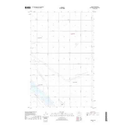
2017 Map of Landa SE
USGS Topo · Published 2017About this map
Souris River and its accompanying wetlands wind through this part of Bottineau County, defining the drainage patterns of the northern prairie. The landscape is primarily organized by a rigid township and range grid, intersected by a series of numerical section roads from 100th St NW down to 93rd St NW. Local history is anchored by the Nedaros Cem located near the river's bend, while the Johnson Airport serves as a small aviation landmark in the southern section of the quadrangle. The meandering path of Boundary Cr cuts across the gridded landscape, illustrating the tension between natural hydrography and the structured land surveys of the American West. This survey offers a detailed view of the rural infrastructure in North Dakota just before the turn of the decade.
Find a feature on this map
16 named features on this map. Tap any name to fly to it.
Don’t see what you’re looking for? This feature index may not catch every label — zoom into the map to look around manually.
Map Details
Editions of this 2017 Landa SE Map
This is the sole edition of this map. No revisions or reprints were ever made.
Other maps of this area

1949 · Landa
USGS Topo · 1:24,000

1949 · Landa SW
USGS Topo · 1:24,000

1949 · Kramer
USGS Topo · 1:24,000

1950 · Newburg
USGS Topo · 1:24,000

1950 · Kramer
USGS Topo · 1:24,000

1950 · Deep
USGS Topo · 1:24,000

1950 · Landa
USGS Topo · 1:24,000

1950 · Landa SW
USGS Topo · 1:24,000

1954 · Souris SW
USGS Topo · 1:24,000

1954 · Landa SE
USGS Topo · 1:24,000