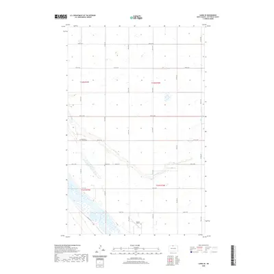
2020 Map of Landa SE
USGS Topo · Published 2020About this map
The Souris River and its meandering tributary, Boundary Cr, define the drainage patterns of this North Dakota landscape near the Canadian border. The river valley is marked by its characteristic oxbows and floodplains, contrasted by the grid-iron section lines of the Public Land Survey System that organize the surrounding agricultural tracts. Local heritage is preserved in the small rural burial grounds that serve the farming community, specifically the Mouse River Lutheran Cem and Nedaros Cem. Transportation in this portion of Bottineau County is primarily via an established network of range and township roads, though the Johnson Airport provides a point of aviation access. The presence of the Grassland Trl suggests the continued importance of land management and access within this prairie environment.
Find a feature on this map
20 named features on this map. Tap any name to fly to it.
Don’t see what you’re looking for? This feature index may not catch every label — zoom into the map to look around manually.
Map Details
Editions of this 2020 Landa SE Map
This is the sole edition of this map. No revisions or reprints were ever made.
Other maps of this area

1949 · Landa
USGS Topo · 1:24,000

1949 · Landa SW
USGS Topo · 1:24,000

1949 · Kramer
USGS Topo · 1:24,000

1950 · Newburg
USGS Topo · 1:24,000

1950 · Kramer
USGS Topo · 1:24,000

1950 · Deep
USGS Topo · 1:24,000

1950 · Landa
USGS Topo · 1:24,000

1950 · Landa SW
USGS Topo · 1:24,000

1954 · Souris SW
USGS Topo · 1:24,000

1954 · Landa SE
USGS Topo · 1:24,000