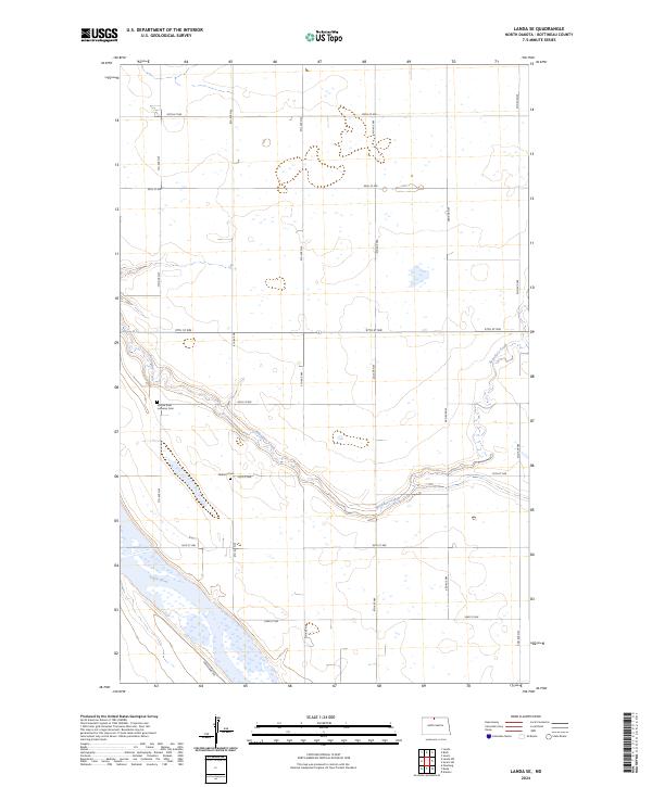
2024 Map of Landa SE
USGS Topo · Published 2024About this map
Boundary Creek meanders across this rural landscape in Bottineau County, eventually meeting the Souris River in the southwestern portion of the sheet. The terrain is characterized by the expansive wetlands and protected habitat of the J. Clark Salyer National Wildlife Refuge, which dominates the southern section. For genealogists and local historians, the map identifies two significant burial grounds that speak to the area's pioneer heritage: the Mouse River Lutheran Cem and Nedaros Cem. The region is organized by a precise grid of rural roads, including 97th St NW and 7th Ave NW, while the Grassland Trl provides access through the wildlife refuge, illustrating the balance between agricultural layout and conservation land in modern North Dakota.
Find a feature on this map
23 named features on this map. Tap any name to fly to it.
Don’t see what you’re looking for? This feature index may not catch every label — zoom into the map to look around manually.
Map Details
Editions of this 2024 Landa SE Map
This is the sole edition of this map. No revisions or reprints were ever made.
Other maps of this area

1949 · Landa
USGS Topo · 1:24,000

1949 · Landa SW
USGS Topo · 1:24,000

1949 · Kramer
USGS Topo · 1:24,000

1950 · Newburg
USGS Topo · 1:24,000

1950 · Kramer
USGS Topo · 1:24,000

1950 · Deep
USGS Topo · 1:24,000

1950 · Landa
USGS Topo · 1:24,000

1950 · Landa SW
USGS Topo · 1:24,000

1954 · Souris SW
USGS Topo · 1:24,000

1954 · Landa SE
USGS Topo · 1:24,000