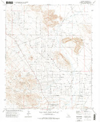
1972 Map of Landers
USGS Topo · Published 1976About this map
Homestead Valley defines the central landscape of this 1970s desert survey, where a grid of rural roads and scattered homesteads reveals the mid-century expansion of the high desert. The small settlements of Landers and Flamingo Heights anchor the southern portion of the map, served by local infrastructure like Landers Airport and the Giant Rock Airport. The terrain is punctuated by significant geological features, including the prominent Spy Mountain and Ruby Mountain, as well as the namesake Giant Rock landmark in the northeast.
Find a feature on this map
28 named features on this map. Tap any name to fly to it.
Don’t see what you’re looking for? This feature index may not catch every label — zoom into the map to look around manually.
Map Details
Editions of this 1972 Landers Map
2 editions found
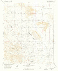
Other maps of this area

1901 · Southern California Sheet No. 1
USGS Topo · 1:250,000

1902 · San Gorgonio
USGS Topo · 1:125,000

1904 · Southern California Sheet No. 1
USGS Topo · 1:250,000

1953 · San Bernardino
USGS Topo · 1:250,000

1954 · Hidalgo Mtn
USGS Topo · 1:24,000

1954 · Emerson Lake
USGS Topo · 1:24,000

1955 · Goat Mountain
USGS Topo · 1:24,000

1955 · Old Woman Springs
USGS Topo · 1:62,500

1955 · Emerson Lake
USGS Topo · 1:62,500

1955 · Morongo Valley
USGS Topo · 1:62,500