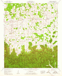
1960 Map of Landersville
USGS Topo · Published 1961About this map
The Moulton Valley landscape of Lawrence County is defined by a distinct transition between open agricultural land and the dense timber of the William B Bankhead National Forest. This 1960 field examination shows a rural economy centered on the Byler Road, a historic corridor flanked by several small settlements including Landersville and Mt Hope. The map provides significant genealogical value through its density of country churches and family burial grounds, such as the Old Town Creek Ch, Town Creek Cem, and Wear Cem.
Find a feature on this map
53 named features on this map. Tap any name to fly to it.
Don’t see what you’re looking for? This feature index may not catch every label — zoom into the map to look around manually.
Map Details
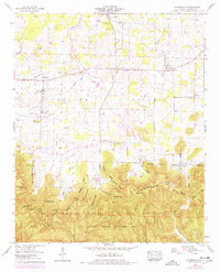
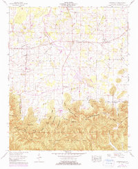
Editions of this 1960 Landersville Map
3 editions found
Other maps of this area

1924 · Tuscumbia
USGS Topo · 1:48,000

1926 · Tuscumbia
USGS Topo · 1:62,500

1935 · Moulton
USGS Topo · 1:24,000

1936 · Newburg
USGS Topo · 1:24,000

1936 · Kinlock Spring
USGS Topo · 1:24,000

1936 · Moulton
USGS Topo · 1:48,000

1936 · Masterson
USGS Topo · 1:24,000

1936 · Hatton
USGS Topo · 1:24,000

1936 · Landersville
USGS Topo · 1:24,000
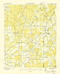
1936 · Old Bethel
USGS Topo · 1:24,000