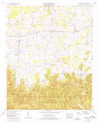
1960 Map of Landersville
USGS Topo · Published 1977About this map
Moulton Valley transitions into the steep terrain of the William B Bankhead National Forest in this topographic record of Lawrence County. The northern half of the quadrangle is defined by a dense network of farm-to-market roads and small communities such as Landersville and Mt Hope. A cluster of rural institutions, including the Mt Hope Sch and several country churches like Rock Springs Ch and Old Town Creek Ch, suggests a well-established agrarian society.
Find a feature on this map
45 named features on this map. Tap any name to fly to it.
Don’t see what you’re looking for? This feature index may not catch every label — zoom into the map to look around manually.
Map Details
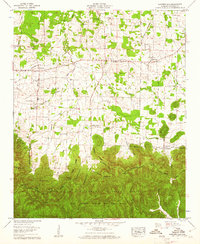
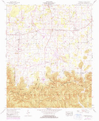
Editions of this 1960 Landersville Map
3 editions found
Other maps of this area

1924 · Tuscumbia
USGS Topo · 1:48,000

1926 · Tuscumbia
USGS Topo · 1:62,500

1935 · Moulton
USGS Topo · 1:24,000

1936 · Newburg
USGS Topo · 1:24,000

1936 · Kinlock Spring
USGS Topo · 1:24,000

1936 · Moulton
USGS Topo · 1:48,000

1936 · Masterson
USGS Topo · 1:24,000

1936 · Hatton
USGS Topo · 1:24,000

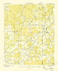
1936 · Landersville
USGS Topo · 1:24,000
1936 · Old Bethel
USGS Topo · 1:24,000