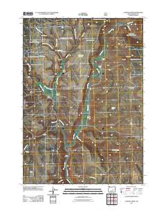
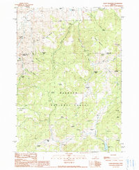
2011 Map of Landing Creek
USGS Topo · Published 2011About this map
The Silvies River meanders through this Harney County landscape, serving as the central axis for a network of remote homesteads and cattle operations. Long-standing family ties to the land are evident in the naming of sites like Old Dole Smith Homestead and several ranching outposts, including the H J Baker Ranch and R F Smith Ranch. The geography is defined by high-elevation water management, featuring the Baker Reservoir and Larraneta Reservoir, which support the drainage basins of Deadwood Creek and Hay Creek.
Find a feature on this map
33 named features on this map. Tap any name to fly to it.
Don’t see what you’re looking for? This feature index may not catch every label — zoom into the map to look around manually.
Map Details
Editions of this 2011 Landing Creek Map
This is the sole edition of this map. No revisions or reprints were ever made.
Other maps of this area

1955 · Burns
USGS Topo · 1:250,000

1958 · Burns
USGS Topo · 1:250,000

1959 · Burns
USGS Topo · 1:250,000

1959 · West Myrtle Butte
USGS Topo · 1:62,500

1959 · Sawtooth Creek
USGS Topo · 1:62,500

1960 · Burns
USGS Topo · 1:62,500
1981 · Holmes Canyon
USGS Topo · 1:24,000
1990 · Poison Creek
USGS Topo · 1:24,000
1990 · Burns NW
USGS Topo · 1:24,000
1990 · Alsup Mountain
USGS Topo · 1:24,000