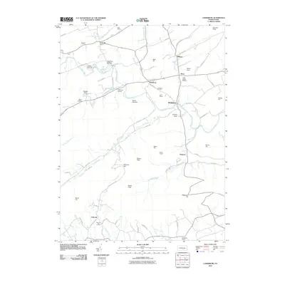
2010 Map of Landisburg
USGS Topo · Published 2010About this map
Landisburg sits at the heart of this Perry County landscape, where the waters of Sherman Creek and Montour Creek converge. The area’s agrarian and recreational character is evident in the numerous small airfields like Metz Airport, Egolf Airport, and Shulls Airport scattered across the valley floors. These facilities, alongside the Hidden Valley Boy Scout Camp, suggest a region focused on utility and community space.
Find a feature on this map
80 named features on this map. Tap any name to fly to it.
Don’t see what you’re looking for? This feature index may not catch every label — zoom into the map to look around manually.
Map Details
Editions of this 2010 Landisburg Map
This is the sole edition of this map. No revisions or reprints were ever made.
Other maps of this area

1904 · Carlisle
USGS Topo · 1:62,500

1907 · New Bloomfield
USGS Topo · 1:62,500

1919 · Newville
USGS Topo · 1:62,500

1930 · Loysville
USGS Topo · 1:62,500

1933 · Loysville
USGS Topo · 1:62,500

1943 · New Bloomfield
USGS Topo · 1:62,500

1943 · Carlisle
USGS Topo · 1:62,500

1945 · Newville
USGS Topo · 1:62,500

1950 · Harrisburg
USGS Topo · 1:250,000
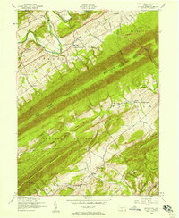
1952 · Spruce Hill
USGS Topo · 1:24,000
Featured Places
- Saville Township, PA
- Landisburg, PA
- Tyrone Township, PA
- Northeast Madison Township, PA
- Southwest Madison Township, PA