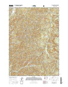
2017 Map of Lane Mountain
USGS Topo · Published 2017About this map
Lane Mountain and Buck Peak dominate the high terrain of eastern Douglas County, situated within the sprawling timberlands of the Umpqua National Forest. This 2017 topographic study highlights a landscape defined by its complex drainage network, where the Little River and Cavitt Creek carve through the deep ridgelines. The map reveals the sophisticated network of forestry access roads, including the Ln Mtn Fall Crk Tie and several BLM routes that crisscross the steep topography between Fall Creek and Jim Creek. Local landmarks like McCaffery Pond and Sampson Lake provide distinct points of interest among the myriad of smaller tributaries such as Buckshot Cr and Copperhead Cr. Property boundaries and historical land divisions are noted via the Public Land Survey System, while residential or agricultural indicators like Henry Ranch Rd and Cooley Ln suggest the intersection of industrial forest land and private holdings.
Find a feature on this map
109 named features on this map. Tap any name to fly to it.
Don’t see what you’re looking for? This feature index may not catch every label — zoom into the map to look around manually.
Map Details
Editions of this 2017 Lane Mountain Map
This is the sole edition of this map. No revisions or reprints were ever made.
Other maps of this area

1897 · Roseburg
USGS Topo · 1:125,000

1900 · Roseburg
USGS Topo · 1:125,000

1954 · Dixonville
USGS Topo · 1:62,500

1954 · Glide
USGS Topo · 1:62,500

1955 · Red Butte
USGS Topo · 1:62,500

1955 · Mace Mtn
USGS Topo · 1:62,500

1958 · Roseburg
USGS Topo · 1:250,000

1959 · Roseburg
USGS Topo · 1:250,000

1978 · Diamond Lake
USGS Topo · 1:100,000

1979 · Roseburg
USGS Topo · 1:100,000