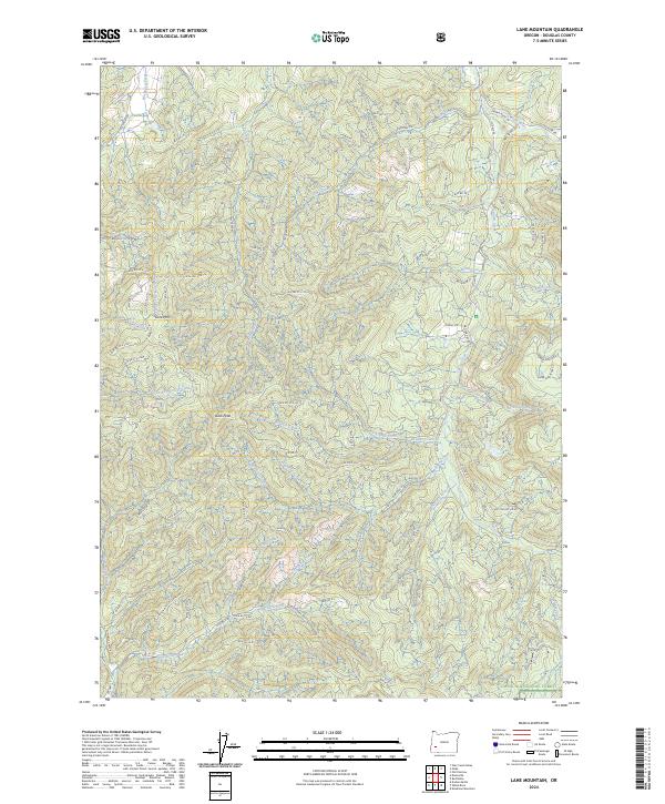
2024 Map of Lane Mountain
USGS Topo · Published 2024About this map
Lane Mountain and Buck Peak dominate this portion of the western Cascades within Douglas County. The landscape is defined by an intricate network of drainage systems, with North Myrtle Creek and the South Fork Deer Creek carving deep valleys across the terrain. Heavy forest management is evident through the extensive system of Bureau of Land Management routes, including Buckhorn Rd and numerous numbered spurs that provide access to the timberlands. The southeastern corner contains a portion of the Umpqua National Forest, where the terrain begins to transition toward the higher elevations of the range. Notable water bodies such as Cavitt Creek and McKay Creek feed into the regional river systems, while the Buck Fork Trl offers a rare non-motorized corridor through the drainage of Buck Fork. This survey highlights the complex relationship between industrial timber access and protected forest lands in contemporary Oregon.
Find a feature on this map
104 named features on this map. Tap any name to fly to it.
Don’t see what you’re looking for? This feature index may not catch every label — zoom into the map to look around manually.
Map Details
Editions of this 2024 Lane Mountain Map
This is the sole edition of this map. No revisions or reprints were ever made.
Other maps of this area

1897 · Roseburg
USGS Topo · 1:125,000

1900 · Roseburg
USGS Topo · 1:125,000

1954 · Dixonville
USGS Topo · 1:62,500

1954 · Glide
USGS Topo · 1:62,500

1955 · Red Butte
USGS Topo · 1:62,500

1955 · Mace Mtn
USGS Topo · 1:62,500

1958 · Roseburg
USGS Topo · 1:250,000

1959 · Roseburg
USGS Topo · 1:250,000

1978 · Diamond Lake
USGS Topo · 1:100,000

1979 · Roseburg
USGS Topo · 1:100,000