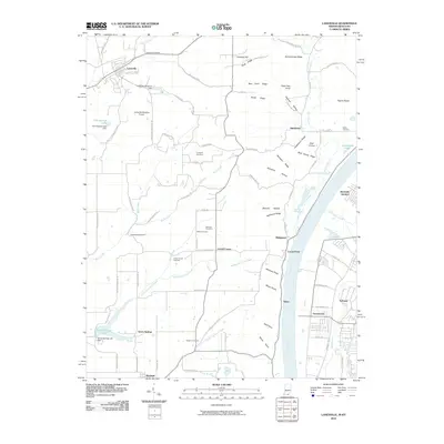
2010 Map of Lanesville
USGS Topo · Published 2010About this map
Lanesville occupies the northern reaches of this landscape, situated near Little Indian Creek and the Lanesville Reservoir. The terrain is defined by a series of prominent ridges and hollows that drop toward the Ohio River, including Schoolhouse Ridge, Riley Ridge, and Huckleberry Ridge. This 2010 survey illustrates the transition from rural Indiana farmland and forested ridges into the industrial and residential corridors of Greenwood and Sylvania across the river in Kentucky.
Find a feature on this map
102 named features on this map. Tap any name to fly to it.
Don’t see what you’re looking for? This feature index may not catch every label — zoom into the map to look around manually.
Map Details
Editions of this 2010 Lanesville Map
This is the sole edition of this map. No revisions or reprints were ever made.
Other maps of this area

1909 · Kosmosdale
USGS Topo · 1:48,000

1912 · Kosmosdale
USGS Topo · 1:62,500

1931 · Corydon
USGS Topo · 1:62,500

1939 · New Albany
USGS Topo · 1:24,000

1939 · Georgetown
USGS Topo · 1:24,000

1946 · New Albany
USGS Topo · 1:24,000

1947 · Georgetown
USGS Topo · 1:24,000

1948 · Corydon East
USGS Topo · 1:24,000

1948 · Laconia
USGS Topo · 1:24,000

1949 · Georgetown
USGS Topo · 1:24,000