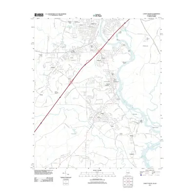
2011 Map of Lanett South
USGS Topo · Published 2011About this map
The Chattahoochee River defines the landscape of this eastern Alabama borderland, carving through the Great Bend and into Bartletts Ferry Lake to the south. This era of the Valley area is characterized by a series of distinct riverside settlements including Shawmut, Langdale Valley, Fairfax, and River View. The map reveals a high concentration of community burial grounds, such as Pine Hill Cemetery, Oak Wood Cemetery, and Greenwood Church Cemetery, providing critical landmarks for genealogical research. Local infrastructure is anchored by several landing strips, notably the Lanett Municipal Airport and the George H Lanier Memorial Hospital Airport. The presence of numerous small reservoirs and dams, like Taunton Lake and Philips Lake, highlights the managed water systems that supported the region's industrial and residential growth along the river's edge.
Find a feature on this map
71 named features on this map. Tap any name to fly to it.
Don’t see what you’re looking for? This feature index may not catch every label — zoom into the map to look around manually.
Map Details
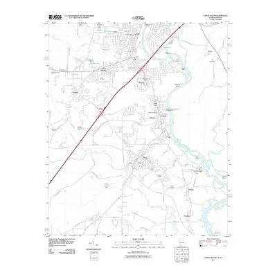
Editions of this 2011 Lanett South Map
2 editions found
Other maps of this area

1907 · Opelika
USGS Topo · 1:125,000

1909 · Opelika
USGS Topo · 1:125,000

1955 · Phenix City
USGS Topo · 1:250,000

1957 · Phenix City
USGS Topo · 1:250,000

1958 · Phenix City
USGS Topo · 1:250,000
1964 · Whitesville
USGS Topo · 1:24,000
1964 · Cannonville
USGS Topo · 1:24,000
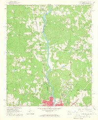
1964 · Lanett North
USGS Topo · 1:24,000

1964 · Lanett South
USGS Topo · 1:24,000
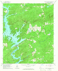
1965 · Bartletts Ferry Dam
USGS Topo · 1:24,000