
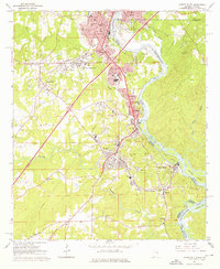
1964 Map of Lanett South
USGS Topo · Published 1966About this map
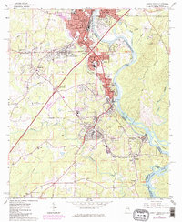
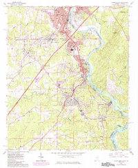
Industrial textile communities along the Chattahoochee River define this mid-1960s landscape, where the Chattahoochee Valley Railway connects the mill towns of Shawmut, Langdale, Fairfax, and River View. In Lanett, the urban core is marked by civic and educational landmarks such as Lanier High Sch and Oak Wood Cem. The river serves as a natural boundary between Alabama and Georgia, with several large islands including Crow Hop Island and Johnson Island positioned near the headwaters of Lake Harding. Away from the river, the landscape transitions to rural homesteads and spiritual centers like Happy Valley Ch and Friendship Ch. Transportation infrastructure is prominent, featuring the Western Railway of Alabama and the Lanett Municipal Airport, reflecting the region's mid-century role as a hub for both industry and transit.
Find a feature on this map
65 named features on this map. Tap any name to fly to it.
Don’t see what you’re looking for? This feature index may not catch every label — zoom into the map to look around manually.
Map Details
Editions of this 1964 Lanett South Map
4 editions found
Other maps of this area

1907 · Opelika
USGS Topo · 1:125,000

1909 · Opelika
USGS Topo · 1:125,000

1955 · Phenix City
USGS Topo · 1:250,000

1957 · Phenix City
USGS Topo · 1:250,000

1958 · Phenix City
USGS Topo · 1:250,000
1964 · Whitesville
USGS Topo · 1:24,000
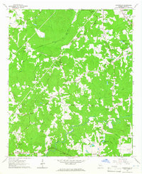
1964 · Cannonville
USGS Topo · 1:24,000
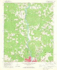
1964 · Lanett North
USGS Topo · 1:24,000
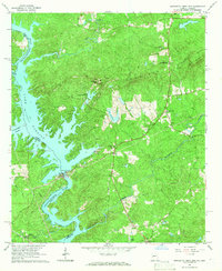
1965 · Bartletts Ferry Dam
USGS Topo · 1:24,000
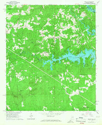
1965 · Beulah
USGS Topo · 1:24,000