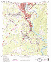
1964 Map of Lanett South
USGS Topo · Published 1984About this map
The Chattahoochee River defines the industrial and social landscape of this Alabama-Georgia borderlands survey, where the river's path is closely followed by the Chattahoochee Valley railroad. The textile-focused towns of the Valley stretch along the western bank, from Lanett and Shawmut down through Langdale and Fairfax. These settlements demonstrate the classic corridor development of the era, punctuated by the industrial infrastructure of mills and the Seaboard Coast Line rail network.
Find a feature on this map
55 named features on this map. Tap any name to fly to it.
Don’t see what you’re looking for? This feature index may not catch every label — zoom into the map to look around manually.
Map Details
Editions of this 1964 Lanett South Map
4 editions found
Other maps of this area

1907 · Opelika
USGS Topo · 1:125,000

1909 · Opelika
USGS Topo · 1:125,000

1955 · Phenix City
USGS Topo · 1:250,000

1957 · Phenix City
USGS Topo · 1:250,000

1958 · Phenix City
USGS Topo · 1:250,000
1964 · Whitesville
USGS Topo · 1:24,000
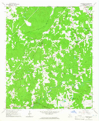
1964 · Cannonville
USGS Topo · 1:24,000
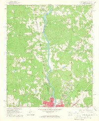
1964 · Lanett North
USGS Topo · 1:24,000

1964 · Lanett South
USGS Topo · 1:24,000
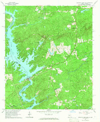
1965 · Bartletts Ferry Dam
USGS Topo · 1:24,000