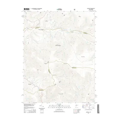
2014 Map of Laneville
USGS Topo · Published 2014About this map
Laneville and Harperton sit within a landscape of high ridges and water sources at the intersection of Randolph, Tucker, and Pendleton counties. This 2014 survey captures the dramatic topography of the Allegheny Front, where the high elevations of Mt Porte Crayon and Thunderstruck Rock overlook the extensive Flatrock Plains and Roaring Plains. The map identifies numerous individual water sources named for local families, including Wyatt Farm Spring, Hartman Farm Spring, and Arbogast Farm Spring, which suggest the historical agricultural use of this high-altitude terrain.
Find a feature on this map
56 named features on this map. Tap any name to fly to it.
Don’t see what you’re looking for? This feature index may not catch every label — zoom into the map to look around manually.
Map Details
Editions of this 2014 Laneville Map
This is the sole edition of this map. No revisions or reprints were ever made.
Other maps of this area

1886 · St. George
USGS Topo · 1:125,000

1889 · Beverly
USGS Topo · 1:125,000

1891 · St. George
USGS Topo · 1:125,000

1892 · Beverly
USGS Topo · 1:125,000

1892 · Franklin
USGS Topo · 1:125,000

1895 · Piedmont
USGS Topo · 1:125,000

1896 · Franklin
USGS Topo · 1:125,000

1908 · Parsons
USGS Topo · 1:62,500

1916 · Davis
USGS Topo · 1:48,000

1918 · Davis
USGS Topo · 1:62,500