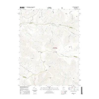
2016 Map of Laneville
USGS Topo · Published 2016About this map
Laneville serves as a focal point for this 2016 survey of the high-altitude terrain where Tucker, Randolph, and Pendleton counties converge. The landscape is defined by the sharp rise of the Allegheny Front and the expansive plateaus of Roaring Plains and Flatrock Plains. These high-elevation features are part of the Monongahela National Forest, reaching a peak at Mt Porte Crayon. A notable pattern of land use is visible through numerous named water sources such as Wyatt Farm Spring, Hartman Farm Spring, and Arbogast Farm Spring, suggesting a history of upland agriculture and homesteading in this challenging environment. For hikers and historians, the map traces significant paths like the American Discovery Trail and Red Creek Trail, while the Flanagan Memorial Cem provides a specific genealogical anchor for the region.
Find a feature on this map
57 named features on this map. Tap any name to fly to it.
Don’t see what you’re looking for? This feature index may not catch every label — zoom into the map to look around manually.
Map Details
Editions of this 2016 Laneville Map
This is the sole edition of this map. No revisions or reprints were ever made.
Other maps of this area

1886 · St. George
USGS Topo · 1:125,000

1889 · Beverly
USGS Topo · 1:125,000

1891 · St. George
USGS Topo · 1:125,000

1892 · Beverly
USGS Topo · 1:125,000

1892 · Franklin
USGS Topo · 1:125,000

1895 · Piedmont
USGS Topo · 1:125,000

1896 · Franklin
USGS Topo · 1:125,000

1908 · Parsons
USGS Topo · 1:62,500

1916 · Davis
USGS Topo · 1:48,000

1918 · Davis
USGS Topo · 1:62,500