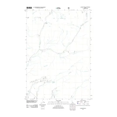
2011 Map of Langer Peak
USGS Topo · Published 2011About this map
Langer Peak stands as the primary landmark in this high-elevation landscape within the Salmon-Challis National Forest area. The drainage patterns are defined by a complex network of waterways, including Beaver Creek, Knapp Creek, and the southern flow of Valley Creek. Transportation through these mountain corridors is limited to a few established routes such as Seafoam Rd and Beaver Creek Rd, which trace the valleys and climb toward Vanity Summit. This 2011 survey captures the hydrological importance of the region, featuring high-altitude water bodies like Vanity Lakes and Eighty Two Lake. The map reveals how local geography dictates movement, with roads following the natural contours of creeks like Vanity Creek and Kelly Creek, illustrating the remote and specialized infrastructure required to navigate this portion of Custer County.
Find a feature on this map
22 named features on this map. Tap any name to fly to it.
Don’t see what you’re looking for? This feature index may not catch every label — zoom into the map to look around manually.
Map Details
Editions of this 2011 Langer Peak Map
This is the sole edition of this map. No revisions or reprints were ever made.
Other maps of this area

1891 · Bear Valley
USGS Topo · 1:125,000

1893 · Bear Valley
USGS Topo · 1:125,000

1919 · Custer
USGS Topo · 1:125,000

1922 · Custer
USGS Topo · 1:125,000

1930 · Casto
USGS Topo · 1:125,000

1957 · Challis
USGS Topo · 1:250,000

1960 · Challis
USGS Topo · 1:250,000

1961 · Greyhound Ridge
USGS Topo · 1:62,500

1963 · Challis
USGS Topo · 1:250,000

1963 · Pinyon Peak
USGS Topo · 1:24,000