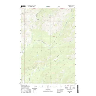
2017 Map of Langer Peak
USGS Topo · Published 2017About this map
Challis National Forest dominates this section of the Idaho backcountry, where high elevations and isolated drainage basins dictate the movement of travelers and water alike. Langer Peak and Vanity Summit serve as the primary topographic anchors for a landscape defined by seasonal access and high-mountain lakes. The network of roads, including the Seafoam Road and the specialized Loon Creek Road (Winter Trail), follows natural contours and creek beds, providing the only transit through this wilderness. Numerous alpine basins hold small water bodies such as Vanity Lakes, Dutch Lake, and the curiously named F Eighty-Two Lake. The mapping reveals a complex system of creek drainages, from the northern Baldwin Cr to the southern Valley Cr, which carve out the deep valleys essential for the area's forest service infrastructure and recreational trails.
Find a feature on this map
80 named features on this map. Tap any name to fly to it.
Don’t see what you’re looking for? This feature index may not catch every label — zoom into the map to look around manually.
Map Details
Editions of this 2017 Langer Peak Map
This is the sole edition of this map. No revisions or reprints were ever made.
Other maps of this area

1891 · Bear Valley
USGS Topo · 1:125,000

1893 · Bear Valley
USGS Topo · 1:125,000

1919 · Custer
USGS Topo · 1:125,000

1922 · Custer
USGS Topo · 1:125,000

1930 · Casto
USGS Topo · 1:125,000

1957 · Challis
USGS Topo · 1:250,000

1960 · Challis
USGS Topo · 1:250,000

1961 · Greyhound Ridge
USGS Topo · 1:62,500

1963 · Challis
USGS Topo · 1:250,000

1963 · Pinyon Peak
USGS Topo · 1:24,000