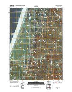
2011 Map of Langlois
USGS Topo · Published 2011About this map
Langlois and Denmark serve as the primary coastal settlements in this Curry County landscape, situated along a complex network of waterways and small lakes. The geography is defined by the parallel courses of New River and the Pacific shoreline, creating a unique corridor of wetlands including Muddy Lake, Croft Lake, and New Lake. This 2011 survey documents the rural infrastructure of the era, from the Langlois Post Office to the Denmark Cemetery, connected by a web of timber and ranch roads like Bethel Mountain Rd and Floras Lake Loop. Significant topographic features such as Morton Butte and Round Top rise above the drainage basins of Floras Creek and Morton Creek. Further inland, the terrain ascends toward White Mountain, where the West Fork Floras Creek originates. This map illustrates the intersection of coastal ranching culture and the distinct hydrologic patterns of the Southern Oregon coast.
Find a feature on this map
57 named features on this map. Tap any name to fly to it.
Don’t see what you’re looking for? This feature index may not catch every label — zoom into the map to look around manually.
Map Details
Editions of this 2011 Langlois Map
This is the sole edition of this map. No revisions or reprints were ever made.
Other maps of this area

1896 · Coos Bay
USGS Topo · 1:125,000

1898 · Coos Bay
USGS Topo · 1:125,000

1899 · Port Orford
USGS Topo · 1:125,000

1900 · Coos Bay
USGS Topo · 1:125,000

1903 · Port Orford
USGS Topo · 1:125,000

1943 · Bandon
USGS Topo · 1:62,500

1944 · Bandon
USGS Topo · 1:62,500

1954 · Coos Bay
USGS Topo · 1:250,000

1954 · Cape Blanco
USGS Topo · 1:62,500

1954 · Langlois
USGS Topo · 1:62,500