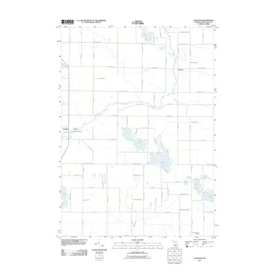
2011 Map of Langston
USGS Topo · Published 2011About this map
The Flat River winds through this section of Montcalm County, anchoring a landscape defined by its glacial kettle lakes and small agricultural settlements. The hamlet of Langston sits near the western edge, adjacent to Riverside Cemetery and Langston Cemetery, while Entrican serves as a northern hub near the Entrican Cemetery. This area in Sidney Township is particularly notable for its dense cluster of water bodies, including the large Clifford Lake and Dickerson Lake at its center, and several smaller lakes such as Penny Lake, Nevins Lake, and Nelson Lake to the southeast. The road network, including W Stanton RD and Kendaville RD, reflects the traditional section-line grid of rural Michigan. For genealogists, the map is a significant resource, documenting local burial grounds like the North Sidney Cemetery and Sidney Township Cemetery in the southern reaches of the township.
Find a feature on this map
79 named features on this map. Tap any name to fly to it.
Don’t see what you’re looking for? This feature index may not catch every label — zoom into the map to look around manually.
Map Details
Editions of this 2011 Langston Map
This is the sole edition of this map. No revisions or reprints were ever made.
Other maps of this area

1954 · Midland
USGS Topo · 1:250,000

1958 · Midland
USGS Topo · 1:250,000

1959 · Midland
USGS Topo · 1:250,000

1959 · Howard City
USGS Topo · 1:62,500

1964 · Edmore
USGS Topo · 1:24,000

1964 · Six Lakes
USGS Topo · 1:24,000

1964 · Langston
USGS Topo · 1:24,000

1964 · Stanton
USGS Topo · 1:24,000

1966 · Midland
USGS Topo · 1:250,000

1972 · Greenville West
USGS Topo · 1:24,000