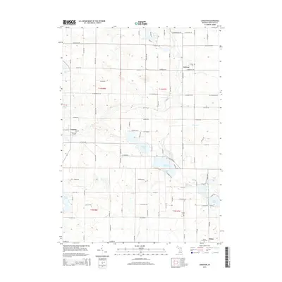
2014 Map of Langston
USGS Topo · Published 2014About this map
Flat River winds through the central portion of this Montcalm County landscape, connecting a series of glacial lakes and small rural communities. The settlement of Langston sits along the river's western bank, while Entrican and Sidney anchor the northern and southern reaches of the quadrangle. For those researching local family history, several burial grounds are scattered throughout the township lines, including Riverside Cem, Entrican Cem, and the Sidney Township Cem. The area is defined by its water-rich geography, with larger bodies like Clifford Lake and Dickerson Lake providing significant landmarks among the section-line roads. This map records the modern road network, from McBride Rd to W Stanton Rd, as it integrates with the natural drainage patterns of Dickerson Cr and Turk Lake.
Find a feature on this map
89 named features on this map. Tap any name to fly to it.
Don’t see what you’re looking for? This feature index may not catch every label — zoom into the map to look around manually.
Map Details
Editions of this 2014 Langston Map
This is the sole edition of this map. No revisions or reprints were ever made.
Other maps of this area

1954 · Midland
USGS Topo · 1:250,000

1958 · Midland
USGS Topo · 1:250,000

1959 · Midland
USGS Topo · 1:250,000

1959 · Howard City
USGS Topo · 1:62,500

1964 · Edmore
USGS Topo · 1:24,000

1964 · Six Lakes
USGS Topo · 1:24,000

1964 · Langston
USGS Topo · 1:24,000

1964 · Stanton
USGS Topo · 1:24,000

1966 · Midland
USGS Topo · 1:250,000

1972 · Greenville West
USGS Topo · 1:24,000