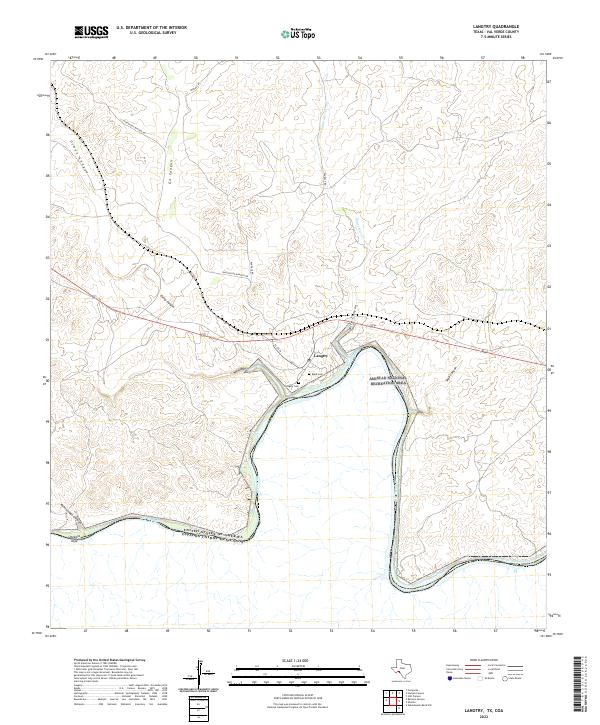
2022 Map of Langtry
USGS Topo · Published 2022About this map
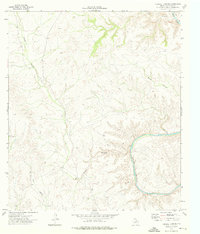
Langtry sits overlooking a dramatic bend in the Rio Grande, marking a stark and dry landscape in Val Verde County. This 2022 survey reveals how the settlement is positioned near the junction of deep canyons and seasonal waterways like Eagle Nest Cr. The terrain is characterized by a series of high, winding ridges and profound elevation drops toward the international border, where the river channel serves as the primary geographical divider. In this modern edition, the map illustrates the persistence of this frontier outpost, showing the relationship between the primary transportation routes and the dramatic natural hydrology that shaped the area's development and historical significance as a western waypoint.
Find a feature on this map
2 named features on this map. Tap any name to fly to it.
Don’t see what you’re looking for? This feature index may not catch every label — zoom into the map to look around manually.
Map Details
Editions of this 2022 Langtry Map
This is the sole edition of this map. No revisions or reprints were ever made.
Other maps of this area

1943 · Langtry
USGS Topo · 1:62,500

1943 · Shumla
USGS Topo · 1:62,500

1944 · Mouth Of Pecos
USGS Topo · 1:62,500

1958 · Del Rio
USGS Topo · 1:250,000

1964 · Del Rio
USGS Topo · 1:250,000
1972 · Zuberbueler Bend NW
USGS Topo · 1:24,000

1973 · Langtry
USGS Topo · 1:24,000
1973 · Still Canyon
USGS Topo · 1:24,000
1973 · Shumla
USGS Topo · 1:24,000
1973 · Harkell Canyon
USGS Topo · 1:24,000