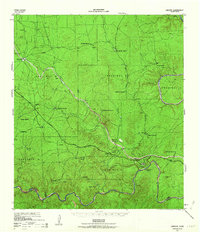
1943 Map of Langtry
USGS Topo · Published 1963About this map
The Rio Grande and Pecos River define this arid landscape along the international border during the early 1940s. Centered on Langtry, the map illustrates a region dominated by a sprawling network of family-held cattle and sheep operations, including the Rancho Grande, Arledge Ranch, and Schraubert Ranch. The infrastructure of the era is anchored by the Texas and New Orleans (Southern Pacific) railroad, which runs parallel to the Jefferson Davis Memorial Highway through the limestone canyons.
Find a feature on this map
49 named features on this map. Tap any name to fly to it.
Don’t see what you’re looking for? This feature index may not catch every label — zoom into the map to look around manually.
Map Details
Editions of this 1943 Langtry Map
2 editions found
Other maps of this area
1943 · Malvado
USGS Topo · 1:62,500
1943 · Shumla
USGS Topo · 1:62,500
1944 · Mouth Of Pecos
USGS Topo · 1:62,500
1944 · Malvado
USGS Topo · 1:62,500
1954 · Sonora
USGS Topo · 1:250,000
1958 · Sonora
USGS Topo · 1:250,000
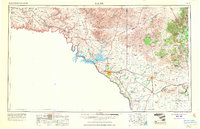
1958 · Del Rio
USGS Topo · 1:250,000
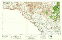
1964 · Del Rio
USGS Topo · 1:250,000
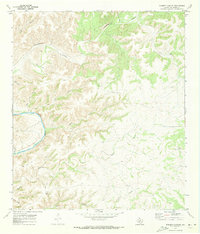
1970 · Everett Canyon
USGS Topo · 1:24,000
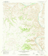
1970 · Little Fielder Draw
USGS Topo · 1:24,000