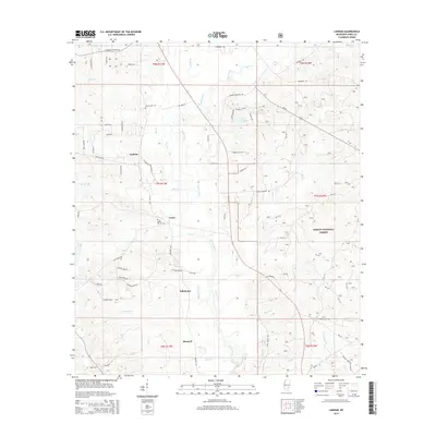
2015 Map of Lanham
USGS Topo · Published 2015About this map
Bogue Homo dominates the central drainage of this Jones County landscape, winding south toward the DeSoto National Forest. The settlement pattern reflects a series of small, rural hubs including Lanham, Tallahomo, Monarch, and Crotts. These locations are connected by a network of local roads such as Ellisville Junction Rd and Tuckers Crossing Rd, illustrating the transition from early timber-reliant communities to a modern residential and recreational layout. For local historians and genealogists, the placement of the Mount Moriah Cem and Tucker Cem provides specific points for family research. Significant water features like Jones County Lake and numerous creeks such as Chinquapin Cr and Savannah Br define the local topography, marking the persistent wet-branch geography characteristic of this part of southern Mississippi.
Find a feature on this map
87 named features on this map. Tap any name to fly to it.
Don’t see what you’re looking for? This feature index may not catch every label — zoom into the map to look around manually.
Map Details
Editions of this 2015 Lanham Map
This is the sole edition of this map. No revisions or reprints were ever made.
Other maps of this area

1953 · Hattiesburg
USGS Topo · 1:250,000

1958 · Hattiesburg
USGS Topo · 1:250,000

1963 · Barrontown
USGS Topo · 1:24,000

1964 · Rhodes
USGS Topo · 1:24,000

1964 · Laurel East
USGS Topo · 1:24,000

1964 · Laurel West
USGS Topo · 1:24,000

1964 · Ovett
USGS Topo · 1:24,000

1964 · Ellisville
USGS Topo · 1:24,000

1964 · Myrick
USGS Topo · 1:24,000

1964 · Strengthford
USGS Topo · 1:24,000