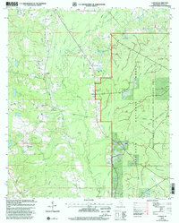
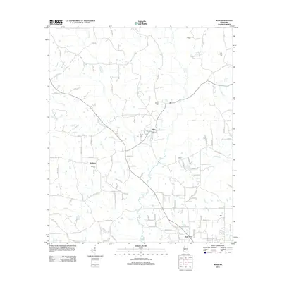
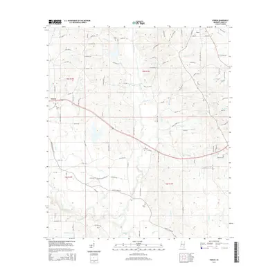
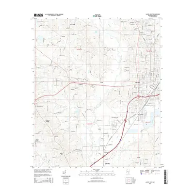
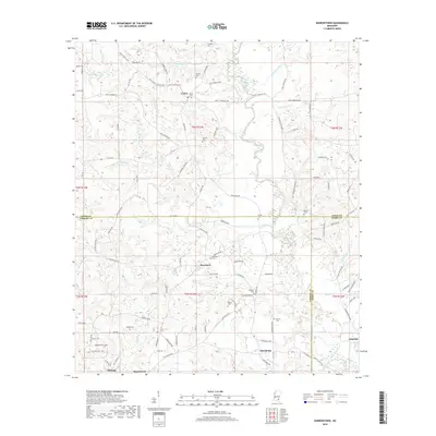
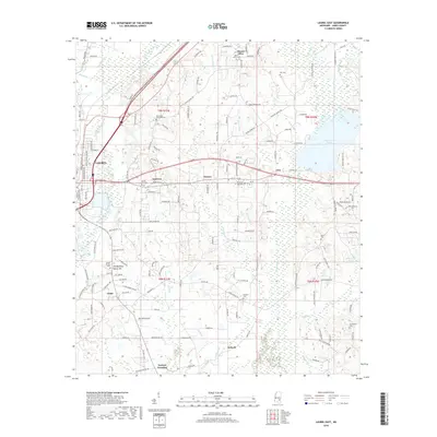
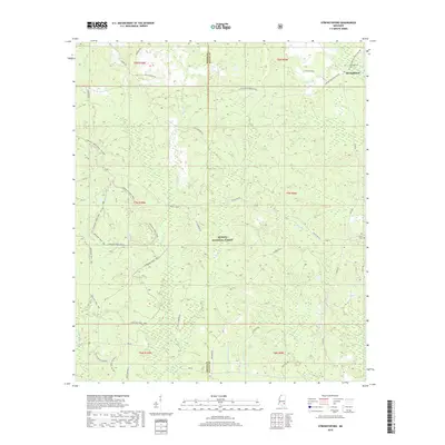
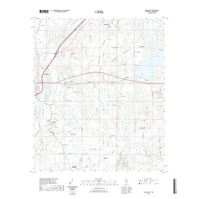
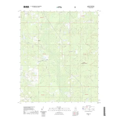
2000 Map of Lanham
USGS Topo · Published 2002About this map
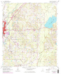
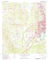
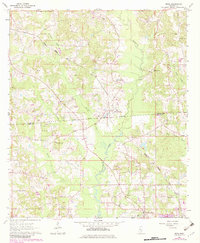
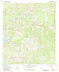
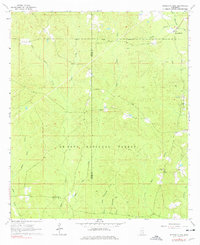
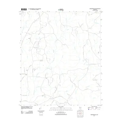
Bogue Homo and its many tributaries, including Bogue Homo Mill Creek and Wildcat Creek, define the landscape of this Jones County region as it appeared at the turn of the millennium. The map illustrates a high density of managed forest and wildlife zones, notably the De Soto National Forest and the Chickasawhay State Wildlife Management Area. These protected lands are crisscrossed by the Longleaf Horse Trail, indicating the area's transition toward conservation and recreational use.
Find a feature on this map
33 named features on this map. Tap any name to fly to it.
Don’t see what you’re looking for? This feature index may not catch every label — zoom into the map to look around manually.
Map Details
Editions of this 2000 Lanham Map
This is the sole edition of this map. No revisions or reprints were ever made.
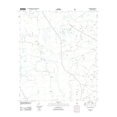
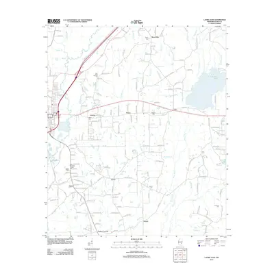
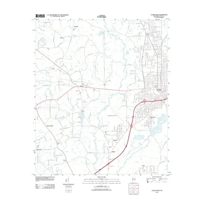
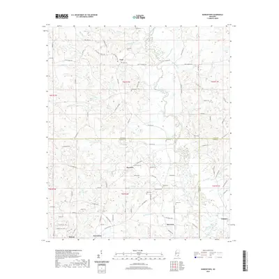
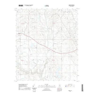
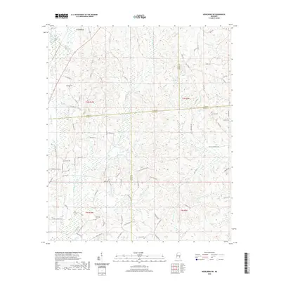
Historical Maps of Lanham Through Time
55 maps found
1963 Barrontown
Jones County, MS
1964 Heidelberg SW
Jones County, MS
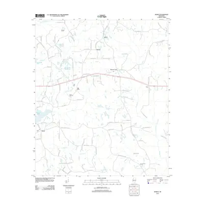
1964 Lanham
Jones County, MS
1964 Laurel East
Jones County, MS
1964 Laurel West
Jones County, MS
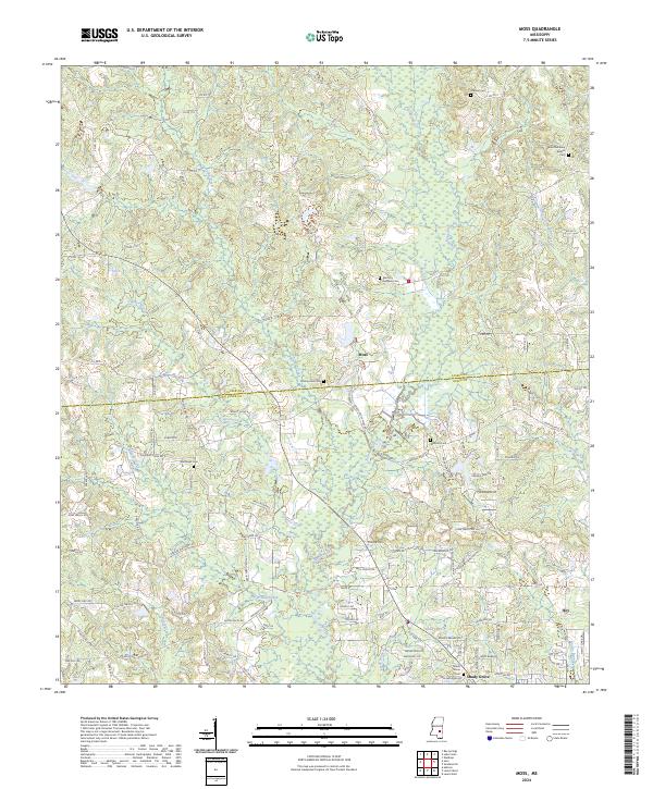
1964 Moss
Jones County, MS
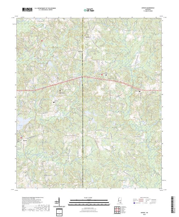
1964 Myrick
Jones County, MS
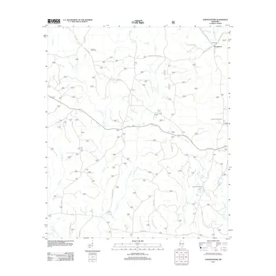
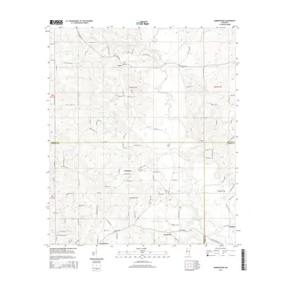
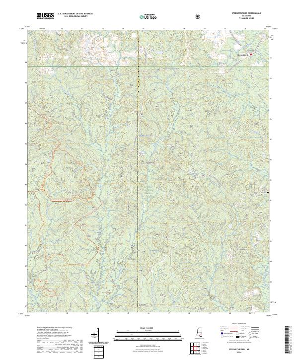
1964 Strengthford
Jones County, MS
1965 Hebron
Jones County, MS
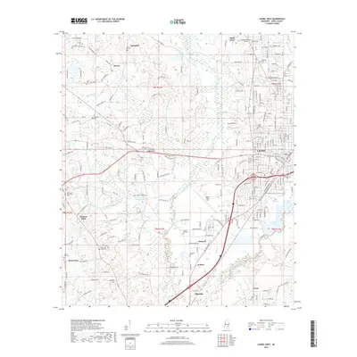
2000 Lanham
Jones County, MS
2012 Barrontown
Jones County, MS
2012 Hebron
Jones County, MS
2012 Heidelberg SW
Jones County, MS
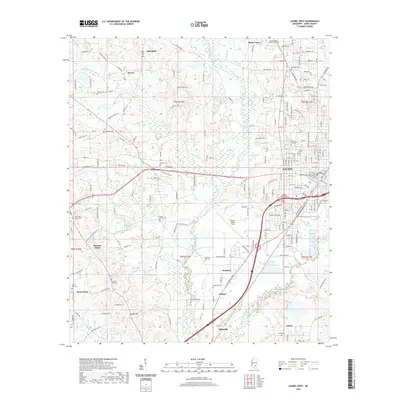
2012 Lanham
Jones County, MS
2012 Laurel East
Jones County, MS
2012 Laurel West
Jones County, MS
2012 Moss
Jones County, MS
2012 Myrick
Jones County, MS
2012 Strengthford
Jones County, MS
2015 Barrontown
Jones County, MS
2015 Hebron
Jones County, MS
2015 Heidelberg SW
Jones County, MS
2015 Lanham
Jones County, MS
2015 Laurel East
Jones County, MS
2015 Laurel West
Jones County, MS
2015 Moss
Jones County, MS
2015 Myrick
Jones County, MS
2015 Strengthford
Jones County, MS
2018 Barrontown
Jones County, MS
2018 Hebron
Jones County, MS
2018 Heidelberg SW
Jones County, MS
2018 Lanham
Jones County, MS
2018 Laurel East
Jones County, MS
2018 Laurel West
Jones County, MS
2018 Moss
Jones County, MS
2018 Myrick
Jones County, MS
2018 Strengthford
Jones County, MS
2020 Barrontown
Jones County, MS
2020 Hebron
Jones County, MS
2020 Heidelberg SW
Jones County, MS
2020 Laurel East
Jones County, MS
2020 Laurel West
Jones County, MS
2020 Moss
Jones County, MS
2020 Myrick
Jones County, MS
2021 Lanham
Jones County, MS
2021 Strengthford
Jones County, MS
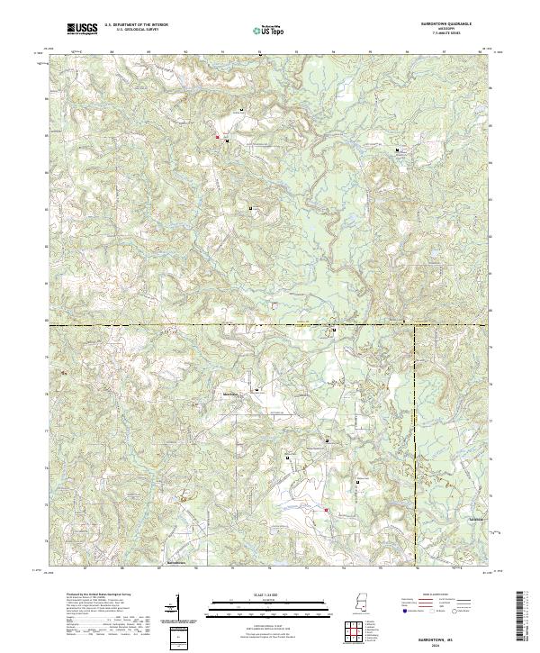
2024 Barrontown
Jones County, MS
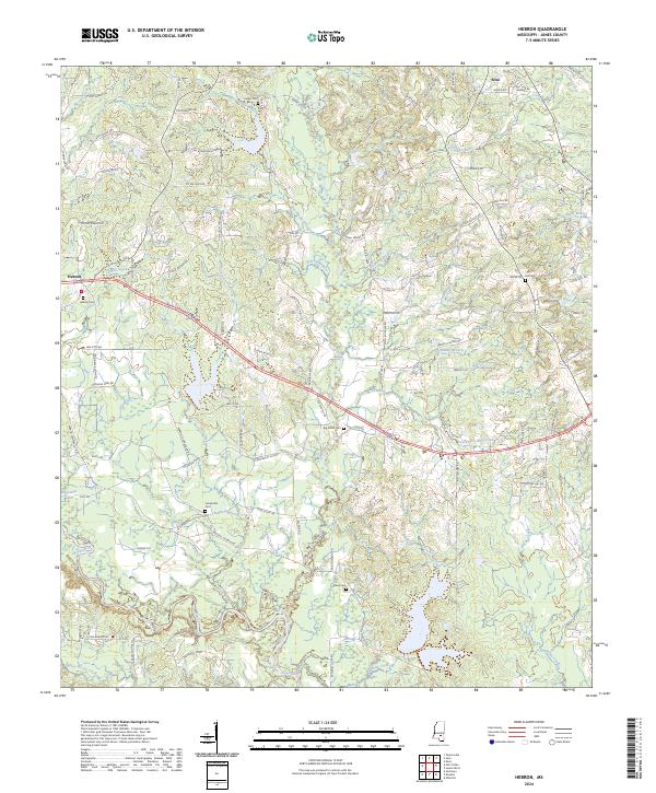
2024 Hebron
Jones County, MS
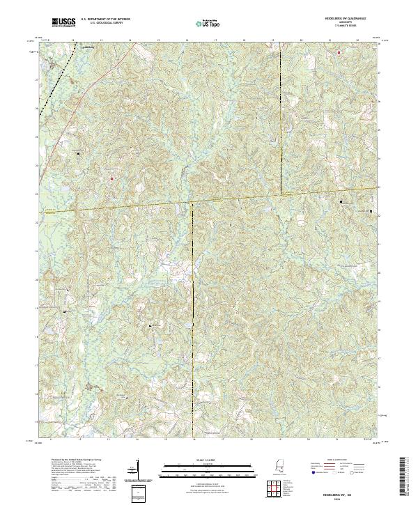
2024 Heidelberg SW
Jones County, MS
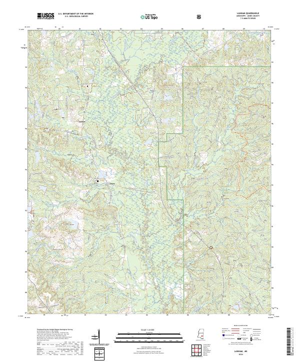
2024 Lanham
Jones County, MS
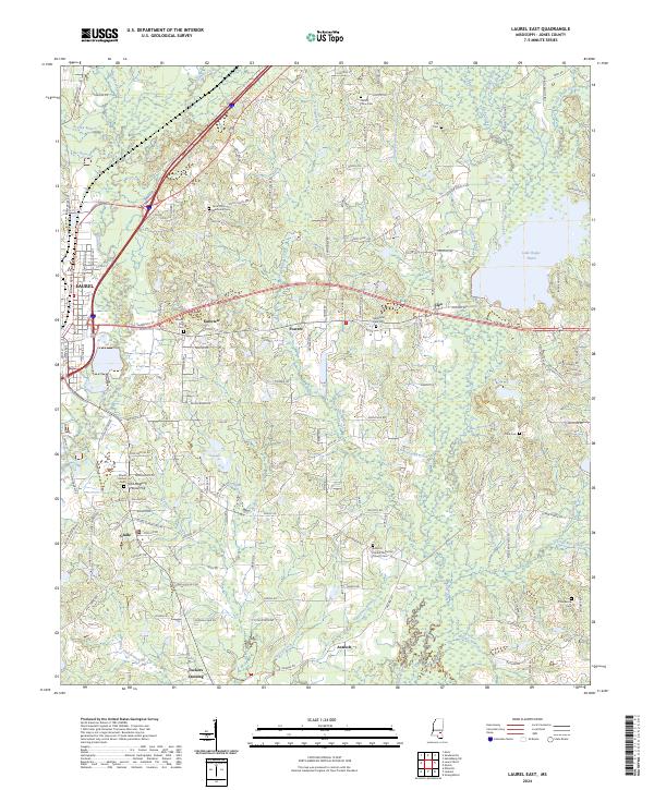
2024 Laurel East
Jones County, MS
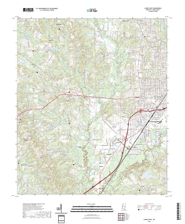
2024 Laurel West
Jones County, MS
2024 Moss
Jones County, MS
2024 Myrick
Jones County, MS
2024 Strengthford
Jones County, MS