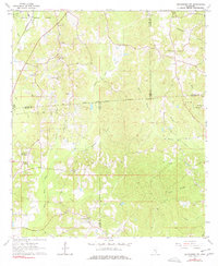
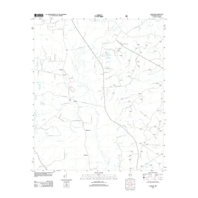
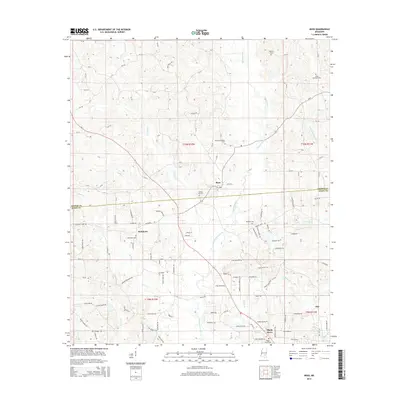
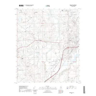
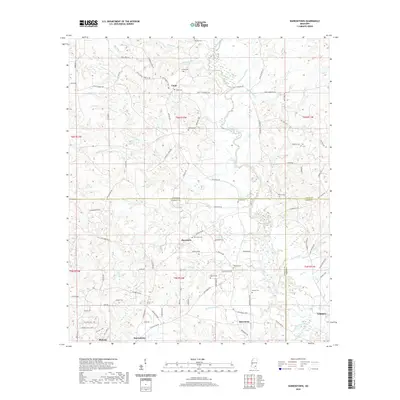
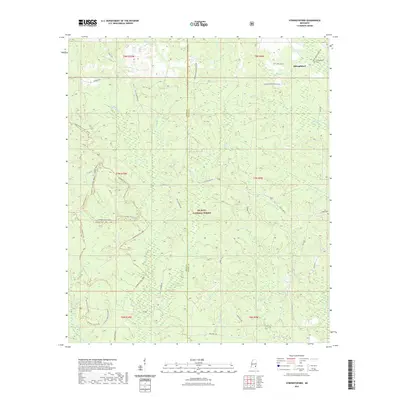
1963 Map of Barrontown
USGS Topo · Published 1985About this map
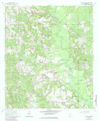
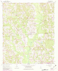
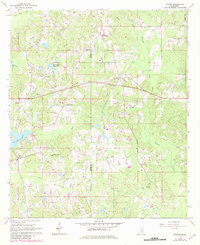
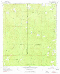
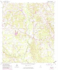
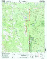
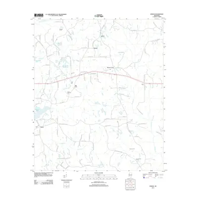
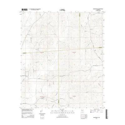
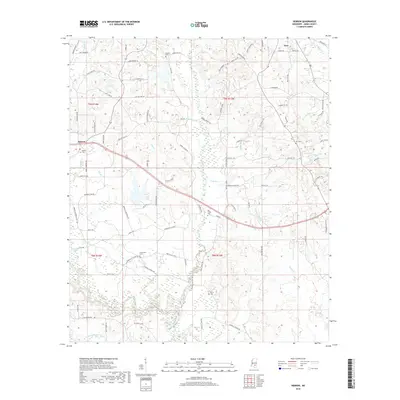
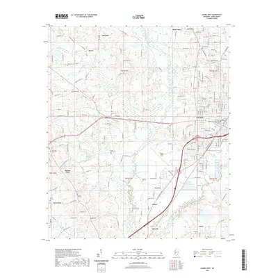
Tallahala Creek snakes through the center of this landscape, marking the intersection of Jones, Forrest, and Perry Counties. The survey reveals a rural network of small communities and family-named landmarks during the early 1960s, with later purple revisions from the 1980s showing the expansion of clearings and new road structures. Small settlements like Union and Morriston are connected by winding country roads, while the southern edge is anchored by Barrontown.
Find a feature on this map
45 named features on this map. Tap any name to fly to it.
Don’t see what you’re looking for? This feature index may not catch every label — zoom into the map to look around manually.
Map Details
Editions of this 1963 Barrontown Map
4 editions found
Historical Maps of Petal Through Time
55 maps found
1963 Barrontown
Jones County, MS
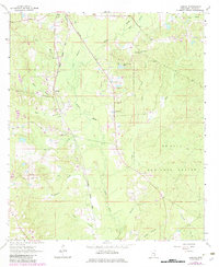
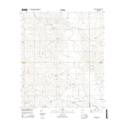
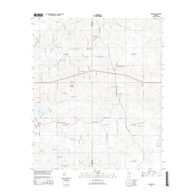
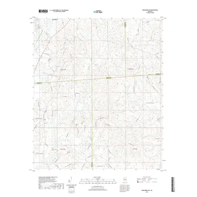
1964 Heidelberg SW
Jones County, MS
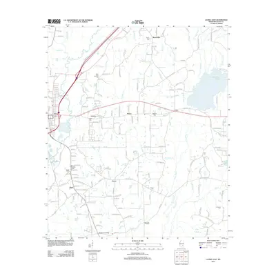
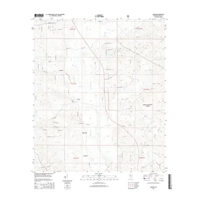
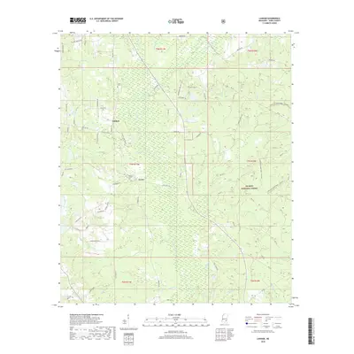
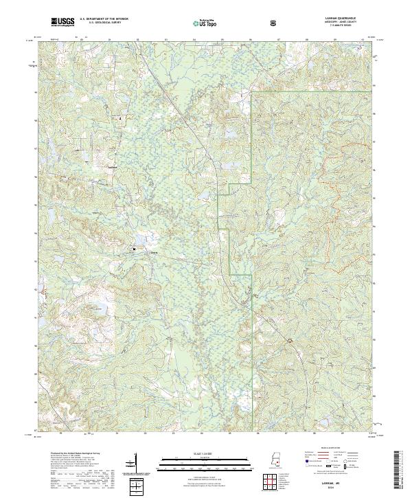
1964 Lanham
Jones County, MS
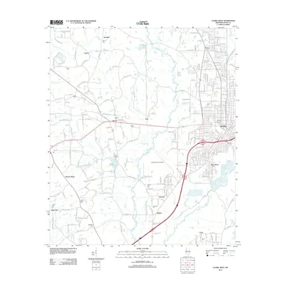
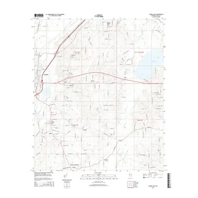
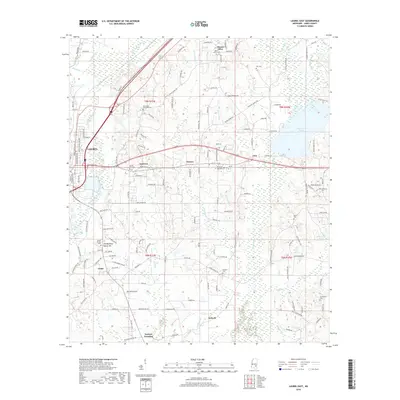
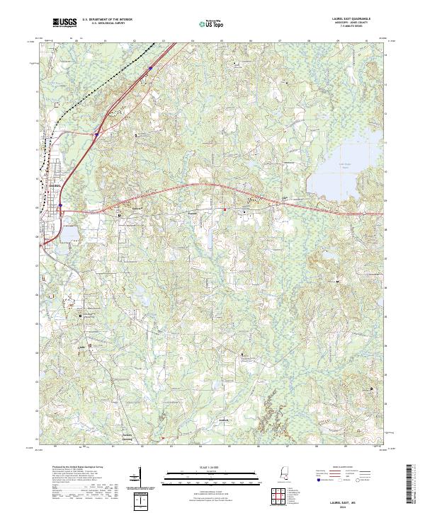
1964 Laurel East
Jones County, MS
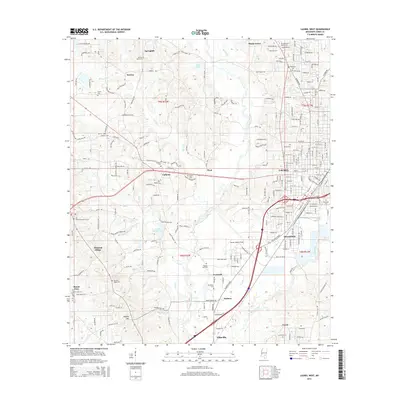
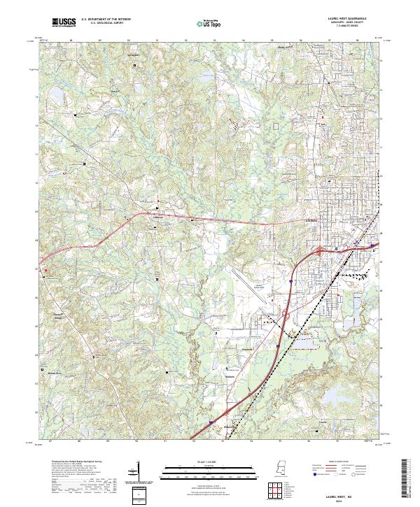
1964 Laurel West
Jones County, MS
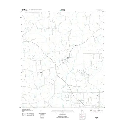
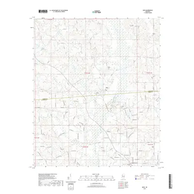
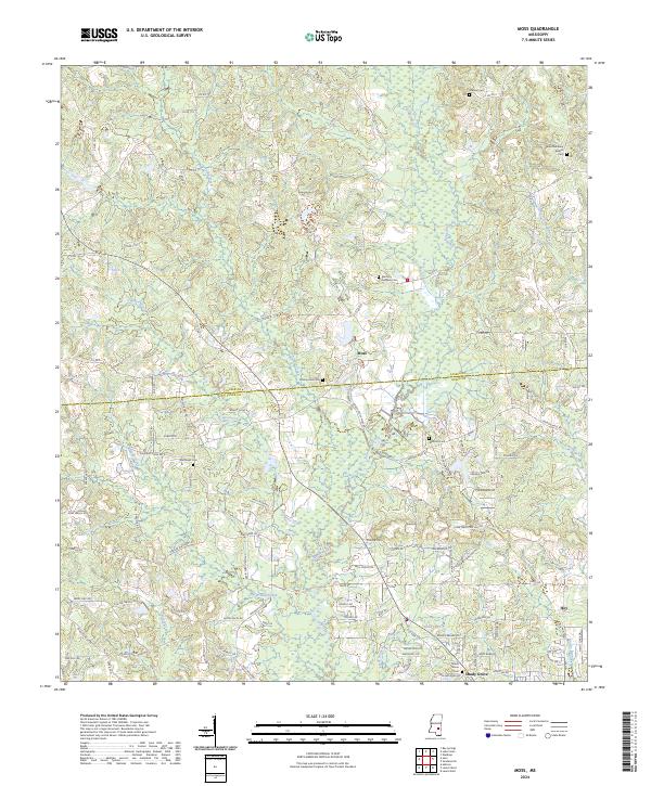
1964 Moss
Jones County, MS
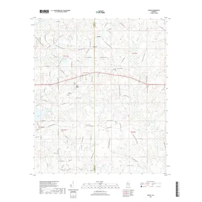
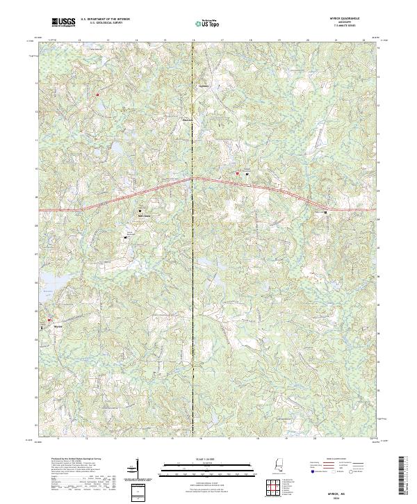
1964 Myrick
Jones County, MS
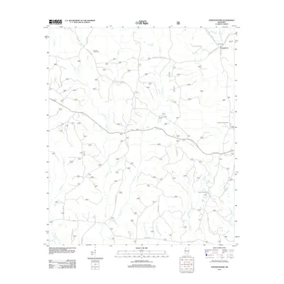
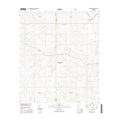
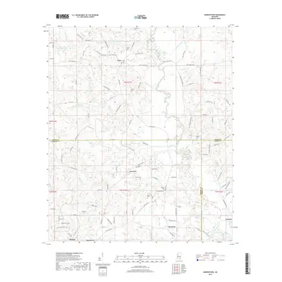
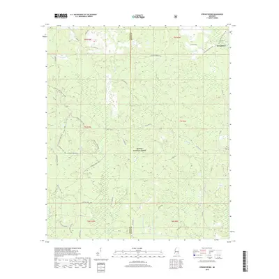
1964 Strengthford
Jones County, MS
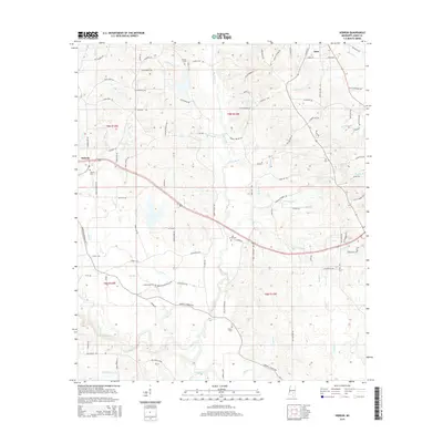
1965 Hebron
Jones County, MS
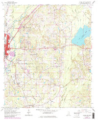
2000 Lanham
Jones County, MS
2012 Barrontown
Jones County, MS
2012 Hebron
Jones County, MS
2012 Heidelberg SW
Jones County, MS
2012 Lanham
Jones County, MS
2012 Laurel East
Jones County, MS
2012 Laurel West
Jones County, MS
2012 Moss
Jones County, MS
2012 Myrick
Jones County, MS
2012 Strengthford
Jones County, MS
2015 Barrontown
Jones County, MS
2015 Hebron
Jones County, MS
2015 Heidelberg SW
Jones County, MS
2015 Lanham
Jones County, MS
2015 Laurel East
Jones County, MS
2015 Laurel West
Jones County, MS
2015 Moss
Jones County, MS
2015 Myrick
Jones County, MS
2015 Strengthford
Jones County, MS
2018 Barrontown
Jones County, MS
2018 Hebron
Jones County, MS
2018 Heidelberg SW
Jones County, MS
2018 Lanham
Jones County, MS
2018 Laurel East
Jones County, MS
2018 Laurel West
Jones County, MS
2018 Moss
Jones County, MS
2018 Myrick
Jones County, MS
2018 Strengthford
Jones County, MS
2020 Barrontown
Jones County, MS
2020 Hebron
Jones County, MS
2020 Heidelberg SW
Jones County, MS
2020 Laurel East
Jones County, MS
2020 Laurel West
Jones County, MS
2020 Moss
Jones County, MS
2020 Myrick
Jones County, MS
2021 Lanham
Jones County, MS
2021 Strengthford
Jones County, MS
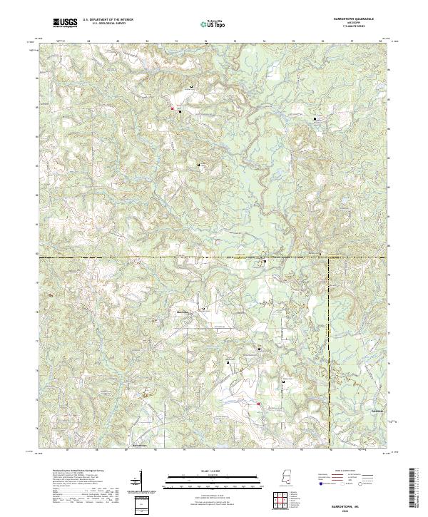
2024 Barrontown
Jones County, MS
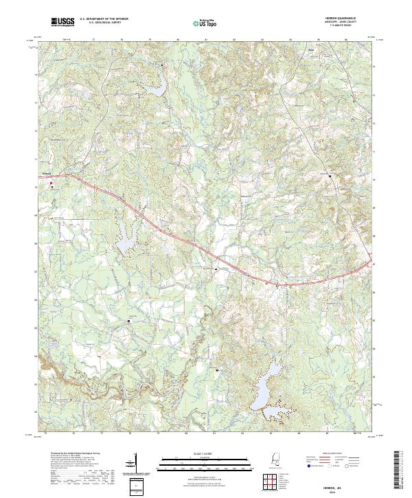
2024 Hebron
Jones County, MS
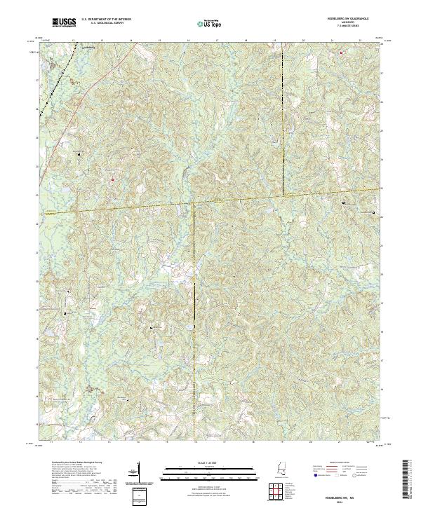
2024 Heidelberg SW
Jones County, MS
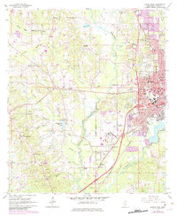
2024 Lanham
Jones County, MS
2024 Laurel East
Jones County, MS
2024 Laurel West
Jones County, MS
2024 Moss
Jones County, MS
2024 Myrick
Jones County, MS
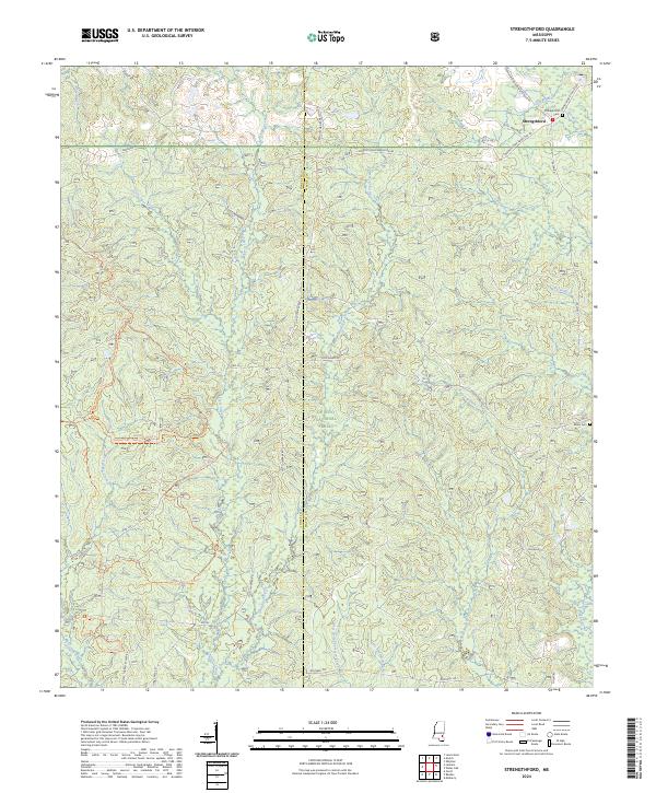
2024 Strengthford
Jones County, MS