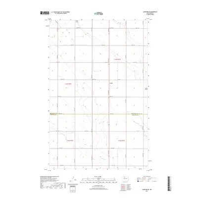
2017 Map of Lansford SE
USGS Topo · Published 2017About this map
Forfar sits along the north-south corridor of 27th Ave NW, representing a focal point in this agricultural landscape on the border of Bottineau and Renville counties. The terrain is defined by the subtle drainage patterns of Spring Coulee and Little Deep Cr, which cut through the systematically partitioned sections of the North Dakota prairie. This 2017 data shows a mature grid of rural roads, including Country Rd 26A and Co Rd 30, which facilitate the region's wheat and grain economy. The map illustrates how local geography is dictated by both the natural flow of these coulees and the rigid lines of the Public Land Survey System, which organized the territory into distinct townships like t159n r82w.
Find a feature on this map
26 named features on this map. Tap any name to fly to it.
Don’t see what you’re looking for? This feature index may not catch every label — zoom into the map to look around manually.
Map Details
Editions of this 2017 Lansford SE Map
This is the sole edition of this map. No revisions or reprints were ever made.
Other maps of this area

1948 · Lansford
USGS Topo · 1:62,500

1948 · Burlington
USGS Topo · 1:62,500

1948 · Lansford SW
USGS Topo · 1:24,000

1949 · Burlington NW
USGS Topo · 1:24,000

1949 · Glenburn
USGS Topo · 1:24,000

1949 · Lansford NW
USGS Topo · 1:24,000

1949 · Lansford SW
USGS Topo · 1:24,000

1949 · Deering NW
USGS Topo · 1:24,000

1949 · Lansford SE
USGS Topo · 1:24,000

1949 · Lansford NE
USGS Topo · 1:24,000