2021 Map of Lantry
USGS Topo · Published 2021About this map
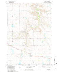
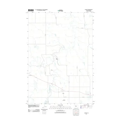
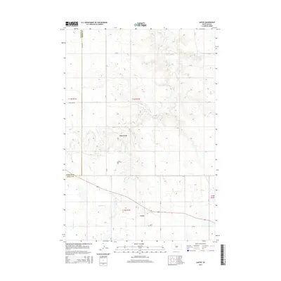
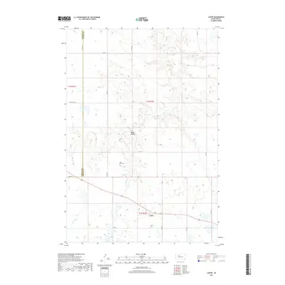
Lantry anchors the southern portion of this landscape at the intersection of local routes in north-central South Dakota. This 2021 survey illustrates a region where life follows the drainage patterns of Bear Creek and Little Bear Cr, with the terrain marked by numerous small depressions and seasonal wetlands. The community’s history and genealogy are preserved at Saint James Cem and Lantry Cem, situated north and south of the main settlement. Further west, Lantry Lake provides a notable water feature in an area otherwise defined by high plains and creek beds like Elm Cr. A sparse network of county roads, such as Co RD 22 and Bear Creek Rd, connects the isolated ranchlands and farmsteads across the Ziebach and Dewey county line.
Find a feature on this map
21 named features on this map. Tap any name to fly to it.
Don’t see what you’re looking for? This feature index may not catch every label — zoom into the map to look around manually.
Map Details
Editions of this 2021 Lantry Map
This is the sole edition of this map. No revisions or reprints were ever made.
Historical Maps of Bear Creek Through Time
5 maps found