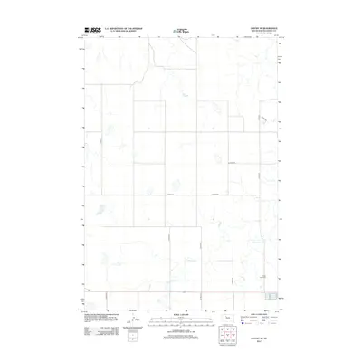
2012 Map of Lantry SE
USGS Topo · Published 2012About this map
Green Grass Creek meanders through this section of Ziebach County, defining the drainage patterns in an area characterized by its open landscape and rural road network. This 2012 survey documents the transition between larger regional routes and local county roads, such as Co Hwy-21 and Co Hwy-20, which serve the agricultural and ranching properties of District 1. A significant landmark for local history and genealogical research is the Eagle Butte Cemetery, situated in the southeastern portion of the map. The collection of secondary routes, including Co Hwy-21c and Co HWY-21e, illustrates the systematic division of the land for transportation and property access in this South Dakota interior.
Find a feature on this map
12 named features on this map. Tap any name to fly to it.
Don’t see what you’re looking for? This feature index may not catch every label — zoom into the map to look around manually.
Map Details
Editions of this 2012 Lantry SE Map
This is the sole edition of this map. No revisions or reprints were ever made.
Other maps of this area

1952 · Lantry NW
USGS Topo · 1:24,000

1952 · Lantry NE
USGS Topo · 1:24,000

1952 · Parade NW
USGS Topo · 1:24,000

1953 · McIntosh
USGS Topo · 1:250,000

1954 · Pierre
USGS Topo · 1:250,000

1958 · Pierre
USGS Topo · 1:250,000

1958 · McIntosh
USGS Topo · 1:250,000

1981 · Herbert Creek
USGS Topo · 1:24,000

1981 · Parade SW
USGS Topo · 1:24,000

1981 · Lantry
USGS Topo · 1:24,000