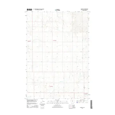
2015 Map of Lantry SE
USGS Topo · Published 2015About this map
Green Grass Cr meanders through the central and southern reaches of this Ziebach County landscape, carving a network of drainage patterns across the prairie. The 2015 survey reveals a terrain defined by the Public Land Survey System, with the intersections of t13n r23e and t12n r23e marking the orderly division of the territory. Located in the southeastern corner, the Eagle Butte Cem serves as a primary point of interest for local history, situated near the junction of several county routes. A grid of rural roads, including CR-20 and CR-21, provides access across the open country, connecting isolated points in this section of the Dakotas.
Find a feature on this map
15 named features on this map. Tap any name to fly to it.
Don’t see what you’re looking for? This feature index may not catch every label — zoom into the map to look around manually.
Map Details
Editions of this 2015 Lantry SE Map
This is the sole edition of this map. No revisions or reprints were ever made.
Other maps of this area

1952 · Lantry NW
USGS Topo · 1:24,000

1952 · Lantry NE
USGS Topo · 1:24,000

1952 · Parade NW
USGS Topo · 1:24,000

1953 · McIntosh
USGS Topo · 1:250,000

1954 · Pierre
USGS Topo · 1:250,000

1958 · Pierre
USGS Topo · 1:250,000

1958 · McIntosh
USGS Topo · 1:250,000

1981 · Herbert Creek
USGS Topo · 1:24,000

1981 · Parade SW
USGS Topo · 1:24,000

1981 · Lantry
USGS Topo · 1:24,000