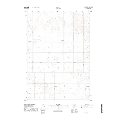
2017 Map of Lantry SE
USGS Topo · Published 2017About this map
Green Grass Cr meanders through this expansive section of Dewey County, carving a shallow valley across the prairie landscape. The area is defined by a sparse network of section-line roads such as 159 St and Co Rd 21, which facilitate access to the surrounding ranchland. In the southeastern corner of the quadrangle, the Eagle Butte Cem stands as a significant landmark for those researching local family histories and genealogies in the region. The map captures the subtle topography of the High Plains, where drainage patterns and small depressions dot the surface between established county routes like Co Rd 218 and Co Rd 20. This 2017 survey reflects the enduring rural character of central South Dakota, documenting the essential road infrastructure and geographic markers that anchor this remote community.
Find a feature on this map
16 named features on this map. Tap any name to fly to it.
Don’t see what you’re looking for? This feature index may not catch every label — zoom into the map to look around manually.
Map Details
Editions of this 2017 Lantry SE Map
This is the sole edition of this map. No revisions or reprints were ever made.
Other maps of this area

1952 · Lantry NW
USGS Topo · 1:24,000

1952 · Lantry NE
USGS Topo · 1:24,000

1952 · Parade NW
USGS Topo · 1:24,000

1953 · McIntosh
USGS Topo · 1:250,000

1954 · Pierre
USGS Topo · 1:250,000

1958 · Pierre
USGS Topo · 1:250,000

1958 · McIntosh
USGS Topo · 1:250,000

1981 · Herbert Creek
USGS Topo · 1:24,000

1981 · Parade SW
USGS Topo · 1:24,000

1981 · Lantry
USGS Topo · 1:24,000